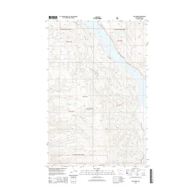
2014 Map of Yew Creek
USGS Topo · Published 2014About this map
Flathead National Forest covers the majority of this landscape, dominated by the towering heights of the Mission Range and the glacial waters of Swan Lake. The terrain is defined by a dense network of drainages including Yew Cr, Gunderson Cr, and Parker Cr, all flowing toward the primary artery of the Swan River. Transportation in this part of Lake County is limited to a few established routes such as the Daryl Southesz Memorial Hwy along the eastern shore and various forestry access points like Natl Forest Develop Road 9714 Rd. This survey reflects a managed wilderness where early logging and forest development roads provide the only significant human imprint upon the steep mountain slopes. Small seasonal settlements are suggested by labels such as Tranquil Pl and W Swan Shores Rd, located where the mountains meet the lake's edge.
Find a feature on this map
36 named features on this map. Tap any name to fly to it.
Don’t see what you’re looking for? This feature index may not catch every label — zoom into the map to look around manually.
Map Details
Editions of this 2014 Yew Creek Map
This is the sole edition of this map. No revisions or reprints were ever made.
Other maps of this area

1914 · Nyack
USGS Topo · 1:125,000

1920 · Flathead Lake
USGS Topo · 1:125,000

1943 · Kalispell
USGS Topo · 1:125,000

1955 · Choteau
USGS Topo · 1:250,000

1956 · Wallace
USGS Topo · 1:250,000

1957 · Choteau
USGS Topo · 1:250,000

1957 · Kalispell
USGS Topo · 1:250,000

1958 · Choteau
USGS Topo · 1:250,000

1960 · Kalispell
USGS Topo · 1:250,000

1960 · Wallace
USGS Topo · 1:250,000