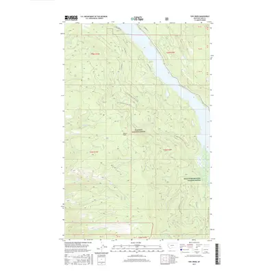
2017 Map of Yew Creek
USGS Topo · Published 2017About this map
The Mission Range dominates the western half of this Lake County terrain, where numerous drainages such as Hungry Cr, Howsley Cr, and No-see-em Cr descend toward the Swan Valley. This 2017 survey documents a landscape heavily defined by conservation and forestry management, with the majority of the area protected within the Flathead National Forest. Along the eastern edge, the Swan River National Wildlife Refuge marks the low-lying wetlands and riparian corridors near the river's path.
Find a feature on this map
30 named features on this map. Tap any name to fly to it.
Don’t see what you’re looking for? This feature index may not catch every label — zoom into the map to look around manually.
Map Details
Editions of this 2017 Yew Creek Map
This is the sole edition of this map. No revisions or reprints were ever made.
Other maps of this area

1914 · Nyack
USGS Topo · 1:125,000

1920 · Flathead Lake
USGS Topo · 1:125,000

1943 · Kalispell
USGS Topo · 1:125,000

1955 · Choteau
USGS Topo · 1:250,000

1956 · Wallace
USGS Topo · 1:250,000

1957 · Choteau
USGS Topo · 1:250,000

1957 · Kalispell
USGS Topo · 1:250,000

1958 · Choteau
USGS Topo · 1:250,000

1960 · Kalispell
USGS Topo · 1:250,000

1960 · Wallace
USGS Topo · 1:250,000