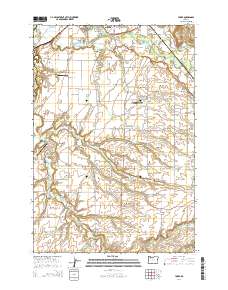
2014 Map of Yoder
USGS Topo · Published 2014About this map
Agricultural prairies and small rural hubs define this landscape in the southern reaches of the Willamette Valley. The community of Yoder serves as a central point, surrounded by extensive farm tracts like Gribble Prairie, Marks Prairie, and Elliott Prairie. Water management for this productive land is visible through numerous reservoirs, including Kern Reservoir, Kyllo Reservoir, and the Aamodt Dairy Reservoir. The map reveals a high density of historical religious and community sites, evidenced by a large concentration of cemeteries reflecting diverse local heritages, such as the Norwegian Cem, Zion Mennonite Cem, and the Aurora IOOF Cem. Small airfields like Compton Airport, Workman AirPark, and Lenhardt Airpark are interspersed among the fields, highlighting the role of private aviation in this rural corridor. Regional transit is anchored by Or 99e in the northwest, while the Molalla River and Milk Creek carve through the northeastern corner near Lone Elder.
Find a feature on this map
112 named features on this map. Tap any name to fly to it.
Don’t see what you’re looking for? This feature index may not catch every label — zoom into the map to look around manually.
Map Details
Editions of this 2014 Yoder Map
This is the sole edition of this map. No revisions or reprints were ever made.
Other maps of this area
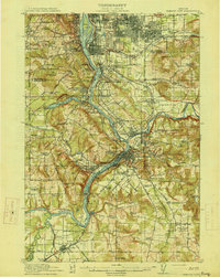
1914 · Oregon City
USGS Topo · 1:62,500
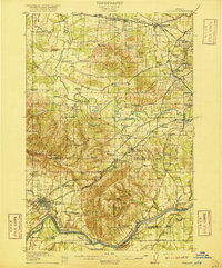
1916 · Tualatin
USGS Topo · 1:62,500
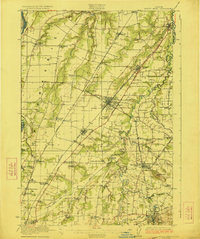
1923 · Mount Angel
USGS Topo · 1:62,500
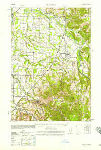
1939 · Molalla
USGS Topo · 1:62,500
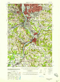
1939 · Oregon City
USGS Topo · 1:62,500
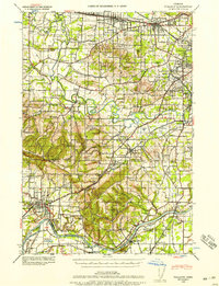
1939 · Tualatin
USGS Topo · 1:62,500
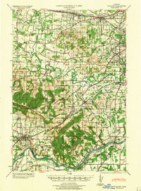
1940 · Tualatin
USGS Topo · 1:62,500
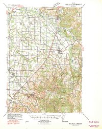
1940 · Molalla
USGS Topo · 1:62,500
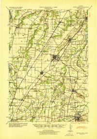
1940 · Mount Angel
USGS Topo · 1:62,500
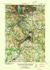
1941 · Oregon City
USGS Topo · 1:62,500