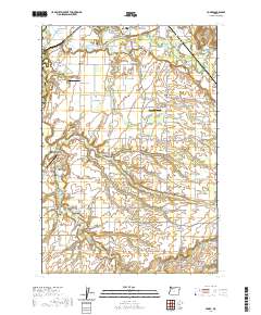
2020 Map of Yoder
USGS Topo · Published 2020About this map
The Molalla River and its numerous tributaries, including Gribble Cr and Milk Creek, carve through this fertile landscape on the border of Clackamas Co and Marion Co. The terrain is defined by distinct agricultural uplands such as Marks Prairie, Gribble Prairie, and Elliott Prairie, which have long supported small rural communities and family farms. Settlement patterns are visible in the clusters of crossroads hamlets like Macksburg, Needy, Hamricks Corner, and the eponymous Yoder.
Find a feature on this map
155 named features on this map. Tap any name to fly to it.
Don’t see what you’re looking for? This feature index may not catch every label — zoom into the map to look around manually.
Map Details
Editions of this 2020 Yoder Map
This is the sole edition of this map. No revisions or reprints were ever made.
Other maps of this area
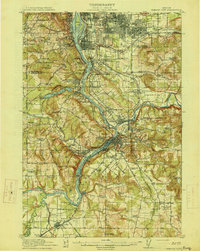
1914 · Oregon City
USGS Topo · 1:62,500
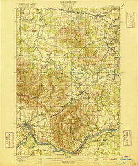
1916 · Tualatin
USGS Topo · 1:62,500
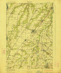
1923 · Mount Angel
USGS Topo · 1:62,500
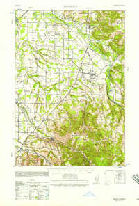
1939 · Molalla
USGS Topo · 1:62,500
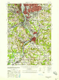
1939 · Oregon City
USGS Topo · 1:62,500
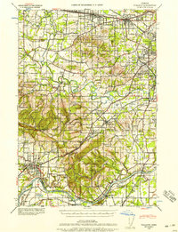
1939 · Tualatin
USGS Topo · 1:62,500
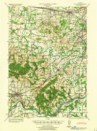
1940 · Tualatin
USGS Topo · 1:62,500
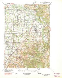
1940 · Molalla
USGS Topo · 1:62,500
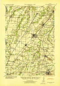
1940 · Mount Angel
USGS Topo · 1:62,500
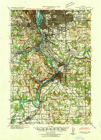
1941 · Oregon City
USGS Topo · 1:62,500