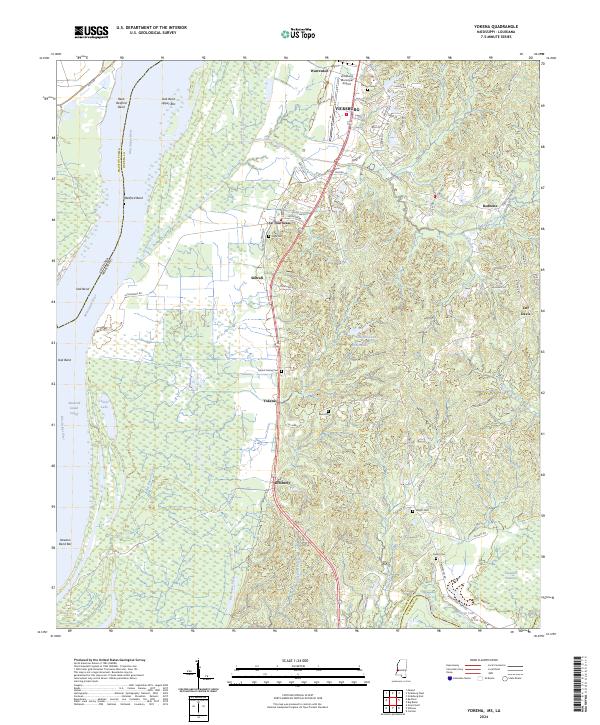
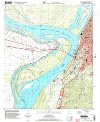
2024 Map of Yokena
USGS Topo · Published 2024About this map
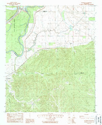
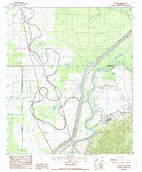
The Mississippi River shapes the western boundary of this landscape, where the shifting riverbed has created distinct features like Reid-Bedford Bend and the Diamond Island Cutoff. Moving inland from the swampy lowlands of Hennesseys Bayou and Big Bogue Desha, the terrain rises into the loess bluffs south of Vicksburg. This transition zone is marked by small settlements such as Yokena, Le Tourneau, and Simrall, which are connected by a network of local routes including Redbone Rd and Jeff Davis Rd.
Find a feature on this map
83 named features on this map. Tap any name to fly to it.
Don’t see what you’re looking for? This feature index may not catch every label — zoom into the map to look around manually.
Map Details
Editions of this 2024 Yokena Map
This is the sole edition of this map. No revisions or reprints were ever made.
Historical Maps of Warrenton Through Time
17 maps found
1962 Long Lake
Warren County, MS
1962 Vicksburg East
Warren County, MS
1962 Vicksburg West
Warren County, MS
1963 Big Black
Warren County, MS

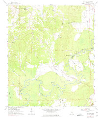
1963 Yokena
Warren County, MS
1972 Oak Ridge
Warren County, MS
1988 Eldorado
Warren County, MS
1988 Floweree
Warren County, MS
1998 Vicksburg West
Warren County, MS
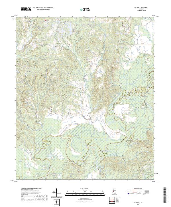
2024 Big Black
Warren County, MS
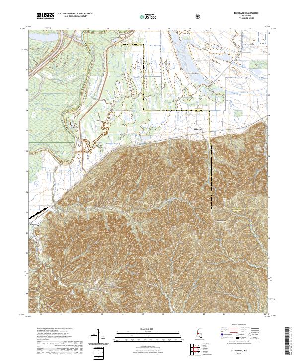
2024 Eldorado
Warren County, MS
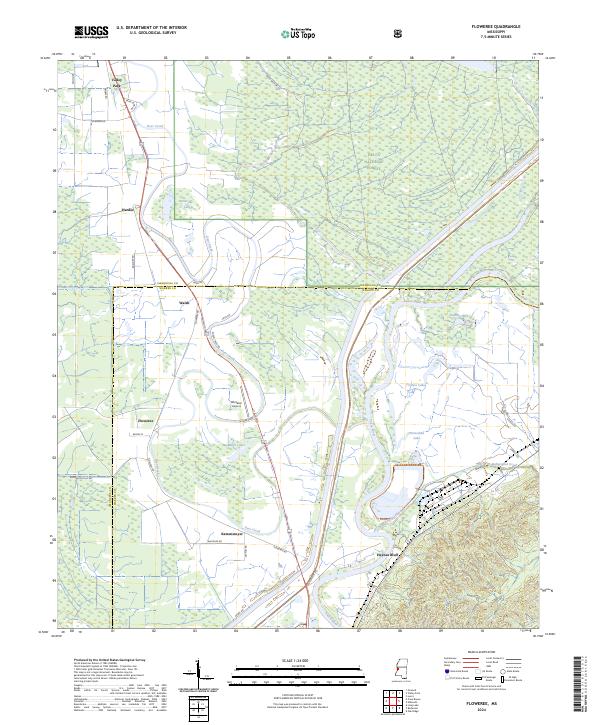
2024 Floweree
Warren County, MS
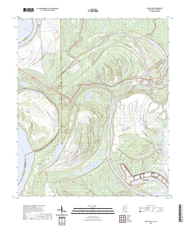
2024 Long Lake
Warren County, MS
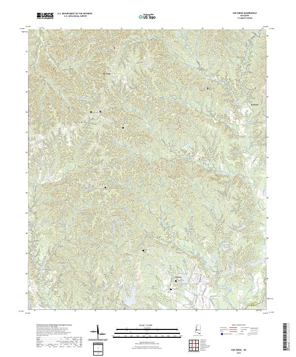
2024 Oak Ridge
Warren County, MS
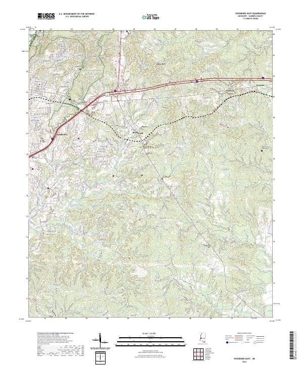
2024 Vicksburg East
Warren County, MS
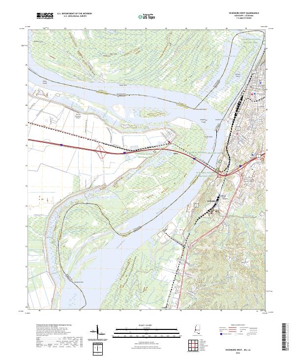
2024 Vicksburg West
Warren County, MS
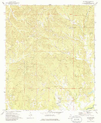
2024 Yokena
Warren County, MS