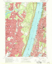
1966 Map of Yonkers
USGS Topo · Published 1968About this map
The steep basalt cliffs of The Palisades dominate the center of this mid-1960s landscape, creating a stark natural divide between the densely developed suburbs of Bergen County, New Jersey, and the urban corridors of Westchester and the Bronx. On the western shore, residential expansion in Englewood, Tenafly, and Bergenfield is framed by the Erie-Lackawanna RR and the Palisades Interstate Parkway. These New Jersey communities maintain a mix of local institutions like Temple Sinai and the Society of African Missions Church, contrasting with the major engineering works like the Oradell Reservoir to the northwest.
Find a feature on this map
105 named features on this map. Tap any name to fly to it.
Don’t see what you’re looking for? This feature index may not catch every label — zoom into the map to look around manually.
Map Details
Editions of this 1966 Yonkers Map
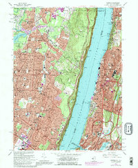
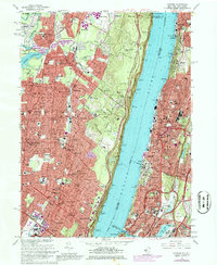
3 editions found
Other maps of this area

1888 · Paterson
USGS Topo · 1:62,500

1891 · Ramapo
USGS Topo · 1:62,500

1891 · Harlem
USGS Topo · 1:62,500

1892 · Paterson
USGS Topo · 1:62,500

1892 · Tarrytown
USGS Topo · 1:62,500

1893 · Tarrytown
USGS Topo · 1:62,500

1893 · Ramapo
USGS Topo · 1:62,500

1897 · Harlem
USGS Topo · 1:62,500

1898 · Harlem
USGS Topo · 1:62,500

1898 · Paterson
USGS Topo · 1:62,500