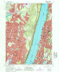
1966 Map of Yonkers
USGS Topo · Published 1980About this map
The Palisades dominate the center of this map, forming a dramatic geological divide between the dense urban grid of Yonkers and the suburban communities of New Jersey. On the eastern shore, the transition from Riverdale down to Spuyten Duyvil shows a landscape defined by institutional giants like Manhattan College and the sprawling Van Cortlandt Park. To the west, the Bergen County settlements of Englewood, Tenafly, and Closter are detailed at a point of significant post-war expansion.
Find a feature on this map
93 named features on this map. Tap any name to fly to it.
Don’t see what you’re looking for? This feature index may not catch every label — zoom into the map to look around manually.
Map Details
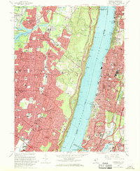
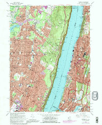
Editions of this 1966 Yonkers Map
3 editions found
Other maps of this area

1888 · Paterson
USGS Topo · 1:62,500

1891 · Ramapo
USGS Topo · 1:62,500

1891 · Harlem
USGS Topo · 1:62,500

1892 · Paterson
USGS Topo · 1:62,500

1892 · Tarrytown
USGS Topo · 1:62,500

1893 · Tarrytown
USGS Topo · 1:62,500

1893 · Ramapo
USGS Topo · 1:62,500

1897 · Harlem
USGS Topo · 1:62,500

1898 · Harlem
USGS Topo · 1:62,500

1898 · Paterson
USGS Topo · 1:62,500