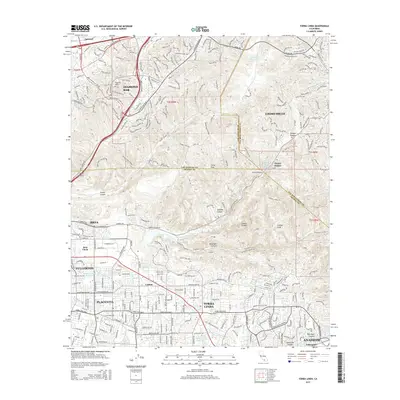
2015 Map of Yorba Linda
USGS Topo · Published 2015About this map
Yorba Linda and the surrounding suburban corridors of Placentia and Brea are captured here as they appeared in 2015, showing the dense residential expansion pressed against the rugged northern slopes. The landscape is defined by the sharp transition between the developed valley floor and the protected open spaces of the Puente Hills and Chino Hills. Notable water infrastructure like the Anaheim Union Reservoir and the Anaheim Union Canal trace the historic agricultural roots of the region, even as industrial sites like Brea Chem represent the modern economy. The map preserves the names of distinct neighborhoods and geographical landmarks such as Carlton, Sleepy Hollow, and the prominent Gilman Peak. Extensive trail networks and fire roads, including Telegraph Canyon and Soquel Canyon Road, wind through the canyons that separate Los Angeles, Orange, and San Bernardino counties.
Find a feature on this map
57 named features on this map. Tap any name to fly to it.
Don’t see what you’re looking for? This feature index may not catch every label — zoom into the map to look around manually.
Map Details
Editions of this 2015 Yorba Linda Map
This is the sole edition of this map. No revisions or reprints were ever made.
Other maps of this area

1894 · Pomona
USGS Topo · 1:62,500

1896 · Anaheim
USGS Topo · 1:62,500

1897 · Pomona
USGS Topo · 1:62,500

1897 · Cucamonga
USGS Topo · 1:62,500

1898 · Pomona
USGS Topo · 1:62,500

1898 · Anaheim
USGS Topo · 1:62,500

1900 · Cucamonga
USGS Topo · 1:62,500

1901 · Southern California Sheet No. 1
USGS Topo · 1:250,000

1901 · Anaheim
USGS Topo · 1:62,500

1902 · Corona
USGS Topo · 1:125,000