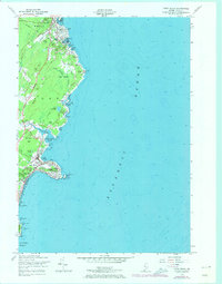
1956 Map of York Beach
USGS Topo · Published 1974About this map
Cape Neddick Lighthouse stands at the tip of Cape Neddick (Nubble), marking a dramatic point on the Maine coast where the Atlantic Ocean meets a landscape of rocky heads and hidden coves. This mid-century survey, with revisions from 1973, details the seasonal and residential growth of settlements like Ogunquit and York Beach. The infrastructure of the era is evident in the Blue Star Memorial Highway and the Shore Road, which connect coastal landmarks from Perkins Cove down to York Harbor. A notable geographic transition is visible where the Josias River and Cape Neddick River drain into the sea, framing a coastline punctuated by distinctive terrain such as Bald Head Cliff and Wadleighs Head. Inland, the map captures a mix of woodlands and swamps, including Rush Swamp, alongside recreational developments like the Ogunquit Country Club.
Find a feature on this map
61 named features on this map. Tap any name to fly to it.
Don’t see what you’re looking for? This feature index may not catch every label — zoom into the map to look around manually.
Map Details
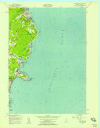
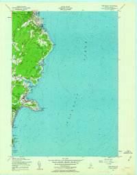
Editions of this 1956 York Beach Map
3 editions found
Other maps of this area

1891 · Biddeford
USGS Topo · 1:62,500

1891 · Kennebunk
USGS Topo · 1:62,500

1893 · Kennebunk
USGS Topo · 1:62,500

1893 · York
USGS Topo · 1:62,500

1893 · Biddeford
USGS Topo · 1:62,500

1898 · Kennebunk
USGS Topo · 1:62,500

1920 · York
USGS Topo · 1:62,500

1941 · Biddeford
USGS Topo · 1:62,500

1941 · Kennebunk
USGS Topo · 1:62,500

1944 · Wells
USGS Topo · 1:24,000