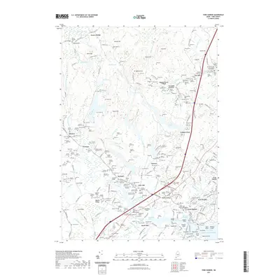
2021 Map of York Harbor
USGS Topo · Published 2021About this map
York Harbor and its surrounding coastal settlements are documented here in detail, showing a landscape defined by tidal inlets and low-lying hills. The coastal village of York Beach and the inland junctions at York Corner and Scotland suggest a long-established pattern of maritime and agricultural life. Genealogists will find a wealth of family history in the many small burial sites scattered throughout the terrain, including the Gowen Family Burial Ground 5, the Moulton Family Burying Ground, and the First Parish Cem.
Find a feature on this map
298 named features on this map. Tap any name to fly to it.
Don’t see what you’re looking for? This feature index may not catch every label — zoom into the map to look around manually.
Map Details
Editions of this 2021 York Harbor Map
This is the sole edition of this map. No revisions or reprints were ever made.
Other maps of this area

1891 · Berwick
USGS Topo · 1:62,500

1891 · Kennebunk
USGS Topo · 1:62,500

1893 · Kennebunk
USGS Topo · 1:62,500

1893 · Dover
USGS Topo · 1:62,500

1893 · Berwick
USGS Topo · 1:62,500

1893 · York
USGS Topo · 1:62,500

1898 · Kennebunk
USGS Topo · 1:62,500

1916 · Dover
USGS Topo · 1:62,500

1918 · Dover
USGS Topo · 1:62,500

1920 · York
USGS Topo · 1:62,500