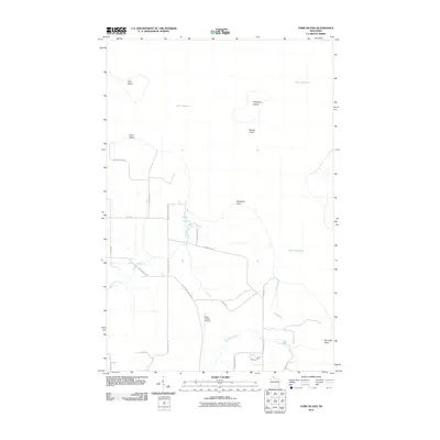
2010 Map of York Island
USGS Topo · Published 2010About this map
York Island and Raspberry Island sit within the cold waters of Lake Superior, anchoring this coastal Wisconsin landscape. On the mainland, a network of rural routes such as Old County Highway K and Raspberry Shore Rd connects the wooded terrain between Point Detour and Red Cliff Point. The drainage pattern is defined by several waterways, including the Raspberry River, Frog Creek, and Red Cliff Creek, which cut through the landscape toward the lake shore. A notable aviation landmark, the Petit Cache Airport, is situated inland near the confluence of local roads like Emil Rd. This digital-era survey from the early 21st century reflects a modern interface of residential development, indicated by New Housing Rd, alongside the long-established nautical hazards of Marina Shoal.
Find a feature on this map
26 named features on this map. Tap any name to fly to it.
Don’t see what you’re looking for? This feature index may not catch every label — zoom into the map to look around manually.
Map Details
Editions of this 2010 York Island Map
This is the sole edition of this map. No revisions or reprints were ever made.
Other maps of this area

1941 · Bayfield
USGS Topo · 1:48,000

1946 · Bayfield
USGS Topo · 1:48,000

1953 · Ashland
USGS Topo · 1:250,000

1954 · Two Harbors
USGS Topo · 1:250,000

1957 · Two Harbors
USGS Topo · 1:250,000

1958 · Ashland
USGS Topo · 1:250,000

1958 · Two Harbors
USGS Topo · 1:250,000

1963 · Rocky Island
USGS Topo · 1:62,500

1963 · Oak Island
USGS Topo · 1:24,000
1963 · Bear Island
USGS Topo · 1:24,000