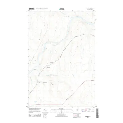
2014 Map of York Ridge
USGS Topo · Published 2014About this map
The Aroostook River winds through the northern portion of this Aroostook County landscape, serving as a primary geographic anchor for the rural communities of Frenchville and York Ridge. The settlement pattern is defined by the convergence of several local thoroughfares, including Frenchville Rd and Presque Isle Rd, which connect the scattered homesteads and agricultural plots of the region. Local heritage is preserved in several burial sites, such as the Frenchville Catholic Cem and the Walker-Gardiner Cem near Gardner Brook. The topography is marked by distinctive formations like Pudding Rock and numerous waterways, including Beaver Brook and Anderson Brook, which drain into the river system. This survey documents the area's transition from the river lowlands to the elevated terrain of the ridge, illustrating the enduring relationship between the Maine wilderness and the small-scale infrastructure of these northern townships.
Find a feature on this map
27 named features on this map. Tap any name to fly to it.
Don’t see what you’re looking for? This feature index may not catch every label — zoom into the map to look around manually.
Map Details
Editions of this 2014 York Ridge Map
This is the sole edition of this map. No revisions or reprints were ever made.
Other maps of this area

1929 · Portage
USGS Topo · 1:62,500

1929 · Caribou
USGS Topo · 1:48,000

1931 · Ashland
USGS Topo · 1:48,000

1931 · Portage
USGS Topo · 1:62,500

1932 · Caribou
USGS Topo · 1:62,500

1934 · Ashland
USGS Topo · 1:62,500

1935 · Presque Isle
USGS Topo · 1:62,500

1953 · Ashland
USGS Topo · 1:62,500

1953 · Portage
USGS Topo · 1:62,500

1953 · Presque Isle
USGS Topo · 1:62,500