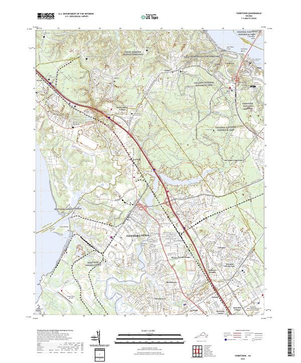
2022 Map of Yorktown
USGS Topo · Published 2022About this map
Colonial National Historical Park preserves the complex geography of this Virginia Peninsula landscape, where military installations and residential developments sit alongside centuries of American history. The York River shoreline is defined by the historic core of Yorktown, featuring landmarks like Cornwallis Cave and the Yorktown National Cem, while modern expansion is visible in the neighborhoods of Lee Hall, Denbigh, and Stoney Brook Estates.
Find a feature on this map
256 named features on this map. Tap any name to fly to it.
Don’t see what you’re looking for? This feature index may not catch every label — zoom into the map to look around manually.
Map Details
Editions of this 2022 Yorktown Map
This is the sole edition of this map. No revisions or reprints were ever made.
Other maps of this area

1906 · Williamsburg
USGS Topo · 1:62,500

1907 · Yorktown
USGS Topo · 1:62,500

1907 · Hampton
USGS Topo · 1:62,500

1916 · Mathews
USGS Topo · 1:62,500

1917 · Mathews
USGS Topo · 1:62,500

1943 · Yorktown
USGS Topo · 1:62,500

1943 · Richmond
USGS Topo · 1:250,000

1944 · Yorktown
USGS Topo · 1:24,000

1944 · Morrison
USGS Topo · 1:24,000

1944 · Harris Grove
USGS Topo · 1:24,000