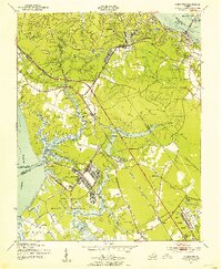
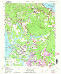
1950 Map of Yorktown
USGS Topo · Published 1954About this map
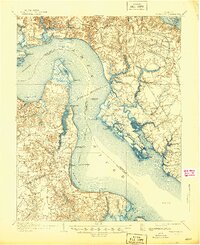
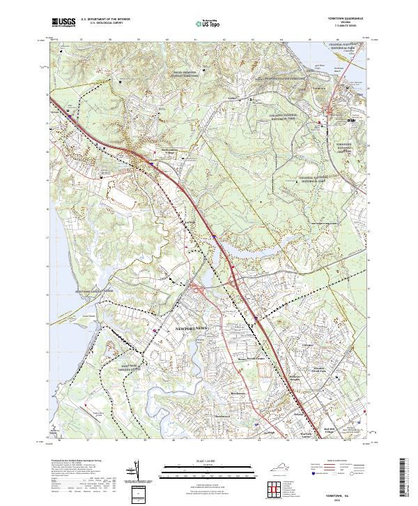
Yorktown and its surroundings on the York River are defined by the convergence of colonial history and mid-century military infrastructure. In the northeast, the Colonial National Historical Park preserves the landscape of the 1781 siege, featuring the Yorktown Monument and the National Cem. To the west and south, the presence of Fort Eustis and the U S Naval Reservation illustrates the area's strategic importance during the post-war era.
Find a feature on this map
57 named features on this map. Tap any name to fly to it.
Don’t see what you’re looking for? This feature index may not catch every label — zoom into the map to look around manually.
Map Details
Editions of this 1950 Yorktown Map
This is the sole edition of this map. No revisions or reprints were ever made.
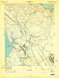
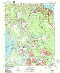
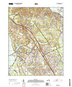
Historical Maps of Yorktown Through Time
13 maps found
1907 Yorktown
York County, VA

1943 Yorktown
York County, VA
1944 Yorktown
York County, VA
1950 Yorktown
York County, VA
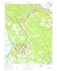
1957 Yorktown
York County, VA
1965 Yorktown
York County, VA
1984 Yorktown
York County, VA
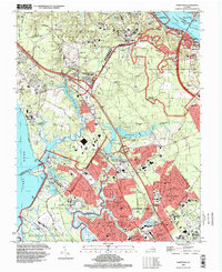
1994 Yorktown
York County, VA

2010 Yorktown
York County, VA

2013 Yorktown
York County, VA

2016 Yorktown
York County, VA
2019 Yorktown
York County, VA
2022 Yorktown
York County, VA