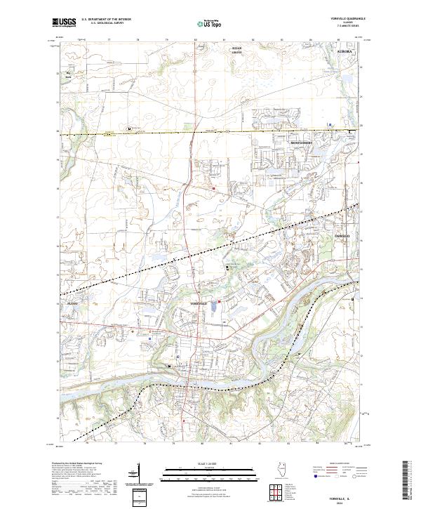
2024 Map of Yorkville
USGS Topo · Published 2024About this map
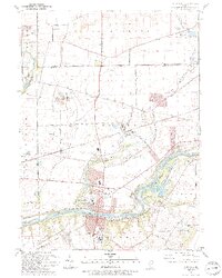
The Fox River serves as the primary geographic corridor through this section of Kendall County, winding past the regional center at Yorkville. This modern survey details the significant suburban growth and road networking connecting established towns like Oswego, Plano, and Montgomery. Despite the increasing residential footprints, numerous historic burial grounds remain preserved across the landscape, including Jericho Cem and Keck Memorial Cem in the north, and Cowdrey Cem and Doud Cem further south.
Find a feature on this map
210 named features on this map. Tap any name to fly to it.
Don’t see what you’re looking for? This feature index may not catch every label — zoom into the map to look around manually.
Map Details
Editions of this 2024 Yorkville Map
This is the sole edition of this map. No revisions or reprints were ever made.
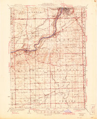
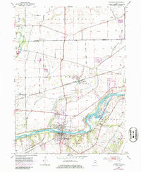
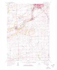
Historical Maps of Aurora Township Through Time
5 maps found
Featured Locations
- Aurora, IL
- Yorkville, IL
- Sugar Grove, Sugar Grove Township
- Plano, Little Rock Township
- Oswego, Oswego Township