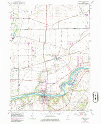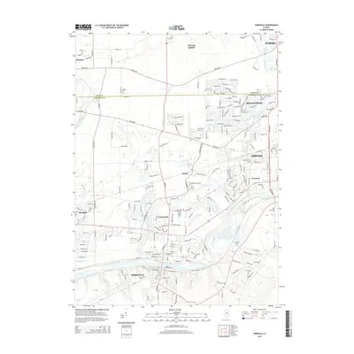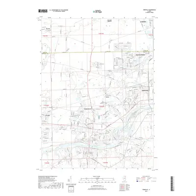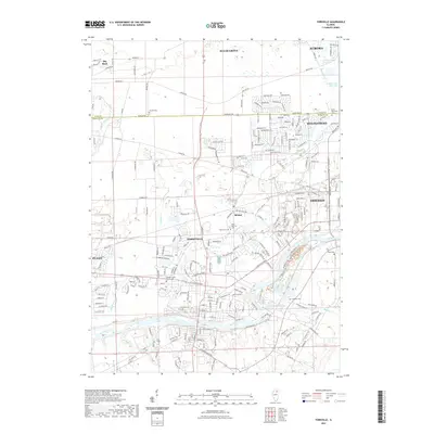
1925 Map of Yorkville
USGS Topo · Published 1944About this map
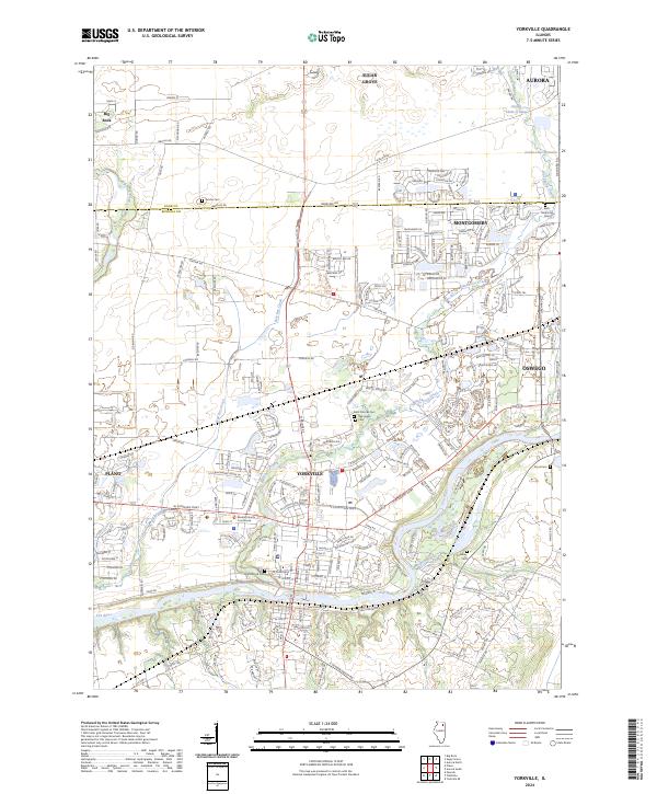
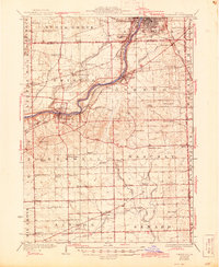
The Fox River carves a winding path through this Illinois landscape, serving as the central axis for growth between Aurora and Yorkville. Surveyed in the 1920s with updates through the early 1940s, the map reveals a dense network of one-room schoolhouses, such as Wormley School and Gorton School, which anchored the rural townships of Oswego and Bristol before mid-century consolidation. The transportation corridor is defined by the Chicago Burlington and Quincy Railroad and the Aurora and Elgin Electric Railway, illustrating how rail and electric interurbans connected these river towns to the broader region.
Find a feature on this map
76 named features on this map. Tap any name to fly to it.
Don’t see what you’re looking for? This feature index may not catch every label — zoom into the map to look around manually.
Map Details
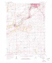
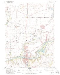
Editions of this 1925 Yorkville Map
2 editions found

Historical Maps of Aurora Through Time
9 maps found