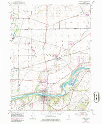
1953 Map of Yorkville
USGS Topo · Published 1986About this map
Yorkville serves as the focal point of this Kendall County survey, situated at the prominent bend where the Fox River turns south. The mid-century landscape is defined by the intersection of water and rail, with the Burlington Northern railroad corridor facilitating commerce through the settlement of Bristol. The map reveals a densely settled rural fabric, noted by several family-named burial grounds including Cowdry Cem and Dowd Cem, and local educational landmarks like Faxon Sch. Numerous gravel pits along the riverbanks suggest the local importance of the aggregate industry during this era of growth. Further north, the terrain is drained by Blackberry Creek and Rob Roy Creek, illustrating the natural drainage patterns before significant modern suburban expansion. The 1973 revisions, indicated by purple tint, show the initial footprints of urban development encroaching upon the established agricultural landscape.
Find a feature on this map
24 named features on this map. Tap any name to fly to it.
Don’t see what you’re looking for? This feature index may not catch every label — zoom into the map to look around manually.
Map Details
Editions of this 1953 Yorkville Map
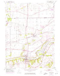
3 editions found
Other maps of this area

1925 · Yorkville
USGS Topo · 1:62,500

1932 · Geneva
USGS Topo · 1:62,500

1937 · Sycamore
USGS Topo · 1:62,500

1948 · Geneva
USGS Topo · 1:62,500

1948 · Sandwich
USGS Topo · 1:62,500

1950 · Sandwich
USGS Topo · 1:62,500

1950 · Aurora North
USGS Topo · 1:24,000

1953 · Plattville
USGS Topo · 1:24,000

1953 · Yorkville
USGS Topo · 1:24,000

1953 · Yorkville SE
USGS Topo · 1:24,000