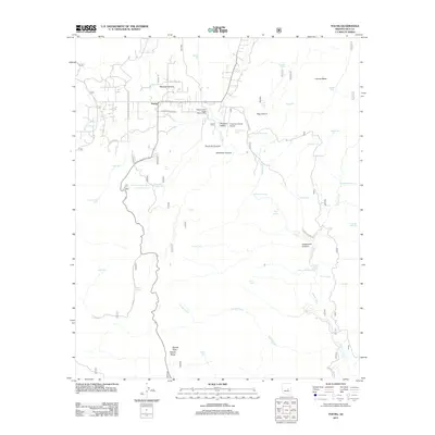
2011 Map of Young
USGS Topo · Published 2011About this map
Young and Pleasant Valley sit at the center of this rural landscape, which is defined by a complex network of canyons and upland mesas. The Pleasant Valley Ranger District Office and the Chapman Ranch Airport serve as primary landmarks for this remote settlement, while roads like Perkins Museum Rd and the Zachariae Ranch Rd Ike Clark Pkwy indicate the importance of local ranching and heritage sites.
Find a feature on this map
56 named features on this map. Tap any name to fly to it.
Don’t see what you’re looking for? This feature index may not catch every label — zoom into the map to look around manually.
Map Details
Editions of this 2011 Young Map
This is the sole edition of this map. No revisions or reprints were ever made.
Other maps of this area
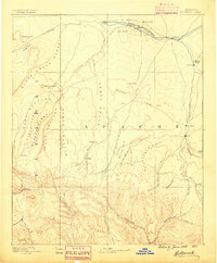
1886 · Holbrook
USGS Topo · 1:250,000
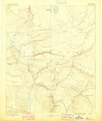
1887 · Verde
USGS Topo · 1:250,000
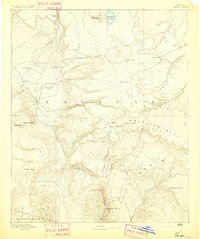
1892 · Verde
USGS Topo · 1:250,000
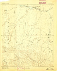
1893 · Holbrook
USGS Topo · 1:250,000
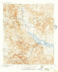
1907 · Roosevelt
USGS Topo · 1:125,000
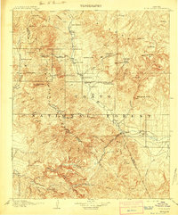
1909 · Four Peaks
USGS Topo · 1:125,000
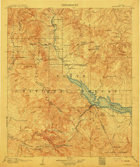
1912 · Roosevelt
USGS Topo · 1:125,000
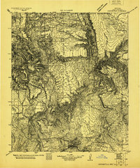
1922 · Chrysotile
USGS Topo · 1:125,000
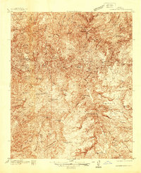
1937 · Diamond Butte
USGS Topo · 1:48,000
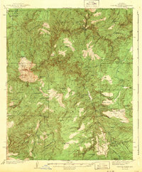
1943 · Diamond Butte
USGS Topo · 1:62,500