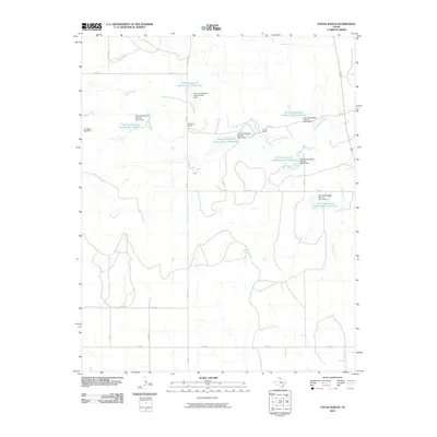
2010 Map of Young Ranch
USGS Topo · Published 2010About this map
Washita River meanders across this Panhandle landscape, where the primary footprint of human activity is defined by large-scale ranching and mid-century water management projects. Named properties such as Young Ranch and Arrington Ranch anchor the local history of the region, while the Gas Plant in the northwest corner points to the industrial energy interests typical of Hemphill County. The map is heavily marked by a series of infrastructure projects from the Soil Conservation Service, featuring seven distinct reservoirs and dams, including Soil Conservation Service Site 4 Reservoir and Soil Conservation Service Site 7 Dam. These structures represent a concerted effort to manage the drainages of White Creek and the river valley. A network of rural routes, including FM 1268 and various county roads like Co RD Z, provide the essential links between these sprawling Texas holdings.
Find a feature on this map
30 named features on this map. Tap any name to fly to it.
Don’t see what you’re looking for? This feature index may not catch every label — zoom into the map to look around manually.
Map Details
Editions of this 2010 Young Ranch Map
This is the sole edition of this map. No revisions or reprints were ever made.
Other maps of this area

1954 · Amarillo
USGS Topo · 1:250,000

1958 · Amarillo
USGS Topo · 1:250,000

1963 · Briscoe
USGS Topo · 1:24,000

1963 · Mobeetie
USGS Topo · 1:24,000

1967 · Mendota
USGS Topo · 1:24,000

1967 · Dads Creek
USGS Topo · 1:24,000

1967 · Young Ranch
USGS Topo · 1:24,000

1967 · Tody School
USGS Topo · 1:24,000

1967 · Canadian SE
USGS Topo · 1:24,000

1967 · Lora
USGS Topo · 1:24,000