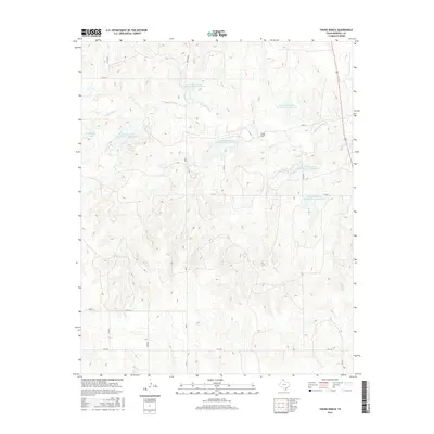
2016 Map of Young Ranch
USGS Topo · Published 2016About this map
The Washita River meanders through this section of Hemphill County, defining a landscape shaped by mid-century water management and modern energy production. A prominent Gas Plant stands near the intersection of Co RD W and Arlington, reflecting the industrial footprint of the Texas Panhandle. The map reveals an extensive network of flood control infrastructure, including a series of reservoirs such as Soil Conservation Service Site 2 Reservoir and Soil Conservation Service Site 4 Reservoir.
Find a feature on this map
25 named features on this map. Tap any name to fly to it.
Don’t see what you’re looking for? This feature index may not catch every label — zoom into the map to look around manually.
Map Details
Editions of this 2016 Young Ranch Map
This is the sole edition of this map. No revisions or reprints were ever made.
Other maps of this area

1954 · Amarillo
USGS Topo · 1:250,000

1958 · Amarillo
USGS Topo · 1:250,000

1963 · Briscoe
USGS Topo · 1:24,000

1963 · Mobeetie
USGS Topo · 1:24,000

1967 · Mendota
USGS Topo · 1:24,000

1967 · Dads Creek
USGS Topo · 1:24,000

1967 · Young Ranch
USGS Topo · 1:24,000

1967 · Tody School
USGS Topo · 1:24,000

1967 · Canadian SE
USGS Topo · 1:24,000

1967 · Lora
USGS Topo · 1:24,000