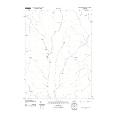
2010 Map of Young Womans Creek
USGS Topo · Published 2010About this map
Young Womans Creek carves a deep path through the plateau of Potter County, defining a landscape of narrow valleys and high ridges in the early 21st century. The terrain is characterized by a dense network of hollows, often bearing family or descriptive names such as Geyser Hollow, Quiggle Hollow, and the evocative Calamity Hollow. These drainages feed into the Left Branch Young Womans Creek and Laurelly Fork, creating a complex watershed that has historically shaped local movement and land use.
Find a feature on this map
57 named features on this map. Tap any name to fly to it.
Don’t see what you’re looking for? This feature index may not catch every label — zoom into the map to look around manually.
Map Details
Editions of this 2010 Young Womans Creek Map
This is the sole edition of this map. No revisions or reprints were ever made.
Other maps of this area

1943 · Hyner
USGS Topo · 1:62,500

1946 · Young Womans Creek
USGS Topo · 1:24,000

1946 · Renovo East
USGS Topo · 1:62,500

1946 · Renovo West
USGS Topo · 1:62,500

1946 · Tamarack
USGS Topo · 1:24,000

1946 · Slate Run
USGS Topo · 1:24,000

1946 · Renovo East
USGS Topo · 1:24,000

1946 · Renovo West
USGS Topo · 1:24,000

1946 · Glen Union
USGS Topo · 1:24,000

1947 · Conrad
USGS Topo · 1:62,500