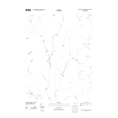
2013 Map of Young Womans Creek
USGS Topo · Published 2013About this map
Young Womans Cr carves a deep path through the northern Pennsylvania highlands, joined by numerous tributaries like Bull Run and McCraney Run. The landscape is defined by its series of distinct hollows, many bearing the names of early families or local flora, including Butler Hollow, Ginseng Hollow, and Bee Tree Hollow. Higher elevations are marked by features such as Lecox Ridge and Summerson Mountain in the southwest corner.
Find a feature on this map
76 named features on this map. Tap any name to fly to it.
Don’t see what you’re looking for? This feature index may not catch every label — zoom into the map to look around manually.
Map Details
Editions of this 2013 Young Womans Creek Map
This is the sole edition of this map. No revisions or reprints were ever made.
Other maps of this area

1943 · Hyner
USGS Topo · 1:62,500

1946 · Young Womans Creek
USGS Topo · 1:24,000

1946 · Renovo East
USGS Topo · 1:62,500

1946 · Renovo West
USGS Topo · 1:62,500

1946 · Tamarack
USGS Topo · 1:24,000

1946 · Slate Run
USGS Topo · 1:24,000

1946 · Renovo East
USGS Topo · 1:24,000

1946 · Renovo West
USGS Topo · 1:24,000

1946 · Glen Union
USGS Topo · 1:24,000

1947 · Conrad
USGS Topo · 1:62,500