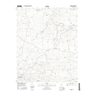
2016 Map of Youngville
USGS Topo · Published 2016About this map
Sulphur Fork Red River and Beaver Dam Creek define the drainage of this Robertson County landscape, where agriculture and aviation meet. The northern reaches of Springfield appear in the southwest, while smaller historic settlements like Youngville, Hubertville, and Milldale are scattered across the terrain. A dense network of family-named cemeteries, including Durham Cem, Nuckolls Cem, and Widick Cem, offers a detailed record of the area's rural heritage and lineage. Aviation is represented by the Holenthawall Airport located north of Youngville. The map also highlights local water features such as Wartrace Lake and The Swamps, illustrating the natural lowlands that have influenced road placement and property lines for generations.
Find a feature on this map
130 named features on this map. Tap any name to fly to it.
Don’t see what you’re looking for? This feature index may not catch every label — zoom into the map to look around manually.
Map Details
Editions of this 2016 Youngville Map
This is the sole edition of this map. No revisions or reprints were ever made.
Other maps of this area

1903 · Nashville
USGS Topo · 1:125,000

1931 · Ridgetop
USGS Topo · 1:62,500

1935 · Ridgetop
USGS Topo · 1:62,500

1942 · Gallatin
USGS Topo · 1:100,000

1951 · Adairville
USGS Topo · 1:24,000

1951 · Dot
USGS Topo · 1:24,000

1951 · Prices Mill
USGS Topo · 1:24,000

1952 · Springfield North
USGS Topo · 1:24,000

1952 · Youngville
USGS Topo · 1:24,000

1953 · Orlinda
USGS Topo · 1:24,000