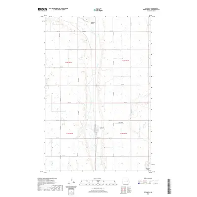
2020 Map of Ypsilanti
USGS Topo · Published 2020About this map
The James River meanders through the heart of this Stutsman County landscape, carving a wide valley through the North Dakota prairie. The settlement of Ypsilanti serves as the local hub, situated where the river valley intersects with Co Hwy 38 and Co Hwy 63. To the south of the town site, Valley Cem is positioned on the rising ground overlooking the river, offering a significant location for genealogical research.
Find a feature on this map
28 named features on this map. Tap any name to fly to it.
Don’t see what you’re looking for? This feature index may not catch every label — zoom into the map to look around manually.
Map Details
Editions of this 2020 Ypsilanti Map
This is the sole edition of this map. No revisions or reprints were ever made.
Other maps of this area

1896 · Jamestown
USGS Topo · 1:125,000

1897 · Eckelson
USGS Topo · 1:125,000

1951 · Jamestown
USGS Topo · 1:24,000

1952 · Homer
USGS Topo · 1:24,000

1952 · Ypsilanti
USGS Topo · 1:24,000

1952 · Bloom
USGS Topo · 1:24,000

1953 · Jamestown
USGS Topo · 1:250,000

1953 · Montpelier
USGS Topo · 1:24,000

1953 · Montpelier NW
USGS Topo · 1:24,000

1956 · Jamestown
USGS Topo · 1:250,000