
1952 Map of Ypsilanti
USGS Topo · Published 1954About this map
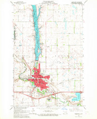
The James River carves a deep valley through the prairie of Stutsman County, serving as the central geographic feature for the township of Ypsilanti. During this era of the early 1950s, the community was a vital rail stop along the Northern Pacific railroad, which parallels the river's winding course. This survey captures the agricultural landscape at a moment when rural education was still anchored by localized schoolhouses, including School No 1, School No 3, and School No 4, scattered across the townships of Homer, Winfield, and Corwin.
Find a feature on this map
15 named features on this map. Tap any name to fly to it.
Don’t see what you’re looking for? This feature index may not catch every label — zoom into the map to look around manually.
Map Details
Editions of this 1952 Ypsilanti Map
This is the sole edition of this map. No revisions or reprints were ever made.
Other maps of this area

1896 · Jamestown
USGS Topo · 1:125,000

1897 · Eckelson
USGS Topo · 1:125,000

1951 · Jamestown
USGS Topo · 1:24,000

1952 · Homer
USGS Topo · 1:24,000

1952 · Bloom
USGS Topo · 1:24,000

1953 · Jamestown
USGS Topo · 1:250,000

1953 · Montpelier
USGS Topo · 1:24,000

1953 · Montpelier NW
USGS Topo · 1:24,000

1956 · Jamestown
USGS Topo · 1:250,000
1966 · Jamestown
USGS Topo · 1:24,000