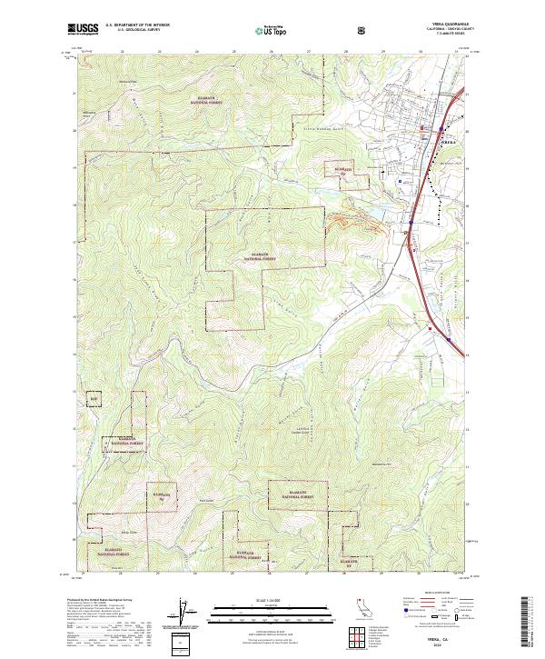
2022 Map of Yreka
USGS Topo · Published 2022About this map
Yreka serves as the focal point of this northern California landscape, where the urban grid meets the steep eastern edges of the Klamath National Forest. The map documents the city's established infrastructure, including the Siskiyou County Courthouse and the expansive Evergreen Cem on the western slopes. The transition from the valley floor to the Klamath highlands is marked by a complex network of canyons and gulches, such as Humbug Gulch and Nunes Gulch, which have historically shaped the local hydrology and settlement patterns.
Find a feature on this map
130 named features on this map. Tap any name to fly to it.
Don’t see what you’re looking for? This feature index may not catch every label — zoom into the map to look around manually.
Map Details
Editions of this 2022 Yreka Map
This is the sole edition of this map. No revisions or reprints were ever made.
Other maps of this area

1886 · Shasta
USGS Topo · 1:250,000

1894 · Shasta
USGS Topo · 1:250,000

1922 · Shasta Valley Sheet No 3
USGS Topo · 1:24,000

1922 · Shasta Valley Sheet No 3 S
USGS Topo · 1:24,000

1932 · Yreka
USGS Topo · 1:96,000

1939 · Yreka
USGS Topo · 1:125,000

1948 · Weed
USGS Topo · 1:250,000

1950 · Weed
USGS Topo · 1:250,000

1954 · Yreka
USGS Topo · 1:62,500

1955 · Condrey Mtn
USGS Topo · 1:62,500