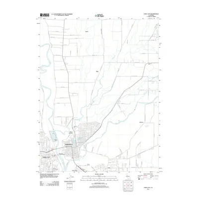
2012 Map of Yuba City
USGS Topo · Published 2012About this map
The confluence of the Feather River and the Yuba River serves as the focal point for this 2012 survey, illustrating the complex relationship between these waterways and the urban centers of Marysville and Yuba City. The map reveals a landscape heavily managed by levees, protecting established settlements and institutions such as the Marysville Cem and Yuba City Cem. Within the city grids, water remains a defining feature through Ellis Lake and Eastpark Lake, while the surrounding rural areas are marked by rail-oriented locales like Binney Junction and Dantoni Junction.
Find a feature on this map
63 named features on this map. Tap any name to fly to it.
Don’t see what you’re looking for? This feature index may not catch every label — zoom into the map to look around manually.
Map Details
Editions of this 2012 Yuba City Map
This is the sole edition of this map. No revisions or reprints were ever made.
Other maps of this area

1888 · Marysville
USGS Topo · 1:125,000

1888 · Smartsville
USGS Topo · 1:125,000

1891 · Marysville
USGS Topo · 1:125,000

1891 · Smartsville
USGS Topo · 1:125,000

1892 · Smartsville
USGS Topo · 1:125,000

1894 · Smartsville
USGS Topo · 1:125,000

1894 · Marysville
USGS Topo · 1:125,000

1895 · Marysville
USGS Topo · 1:125,000

1895 · Smartsville
USGS Topo · 1:125,000

1910 · Wheatland
USGS Topo · 1:31,680