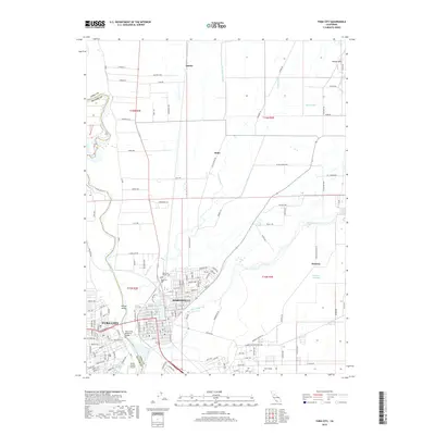
2018 Map of Yuba City
USGS Topo · Published 2018About this map
The Feather River and Yuba River converge in this 2018 survey, defining the adjacent urban centers of Yuba City and Marysville. The landscape reveals a complex network of water management and transport, from the prominent Twin Cities Memorial Bridge connecting the two communities to the industrial and agricultural infrastructure of the surrounding Sutter and Yuba counties. Modern aviation and education hubs are central to the region's layout, specifically the Sutter County Airport and the Yuba College campus.
Find a feature on this map
82 named features on this map. Tap any name to fly to it.
Don’t see what you’re looking for? This feature index may not catch every label — zoom into the map to look around manually.
Map Details
Editions of this 2018 Yuba City Map
This is the sole edition of this map. No revisions or reprints were ever made.
Other maps of this area

1888 · Marysville
USGS Topo · 1:125,000

1888 · Smartsville
USGS Topo · 1:125,000

1891 · Marysville
USGS Topo · 1:125,000

1891 · Smartsville
USGS Topo · 1:125,000

1892 · Smartsville
USGS Topo · 1:125,000

1894 · Smartsville
USGS Topo · 1:125,000

1894 · Marysville
USGS Topo · 1:125,000

1895 · Marysville
USGS Topo · 1:125,000

1895 · Smartsville
USGS Topo · 1:125,000

1910 · Wheatland
USGS Topo · 1:31,680