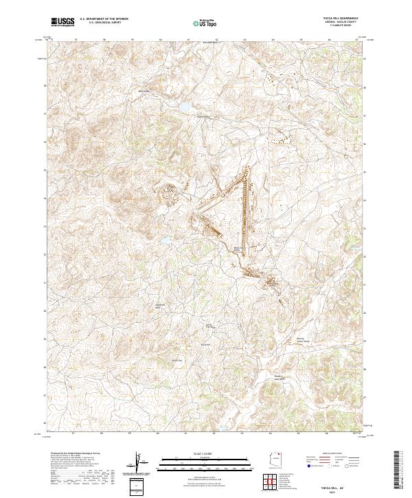
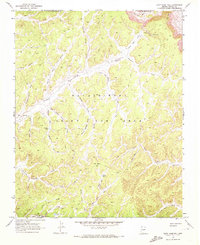
2021 Map of Yucca Hill
USGS Topo · Published 2021About this map
Yucca Hill rises as the central landmark in this high-desert landscape within Navajo County, where a network of ephemeral drainages and broad valleys defines the topography. The northern reaches are bounded by Moenkopi Wash, while the southern expanse is shaped by the Dinnebito Wash and Forest Lake Wash. This 2021 survey illustrates a sparse infrastructure of desert routes, including the primary corridor of Main Rd and Indian Rte 8039, which provide access through the complex terrain. The map captures an environment largely unchanged in its naming conventions, featuring descriptive locales such as White House Valley, Red Peak Valley, and the curiously named Resting Cattle Valley. These names suggest a long history of land use tied to livestock and local geography, offering a detailed perspective on the basin-and-wash systems of Northern Arizona.
Find a feature on this map
20 named features on this map. Tap any name to fly to it.
Don’t see what you’re looking for? This feature index may not catch every label — zoom into the map to look around manually.
Map Details
Editions of this 2021 Yucca Hill Map
This is the sole edition of this map. No revisions or reprints were ever made.
Other maps of this area

1883 · Marsh Pass
USGS Topo · 1:250,000

1892 · Marsh Pass
USGS Topo · 1:250,000

1956 · Marble Canyon
USGS Topo · 1:250,000

1959 · Marble Canyon
USGS Topo · 1:250,000

1961 · Marble Canyon
USGS Topo · 1:250,000
1968 · Owl Valley
USGS Topo · 1:24,000
1968 · Toh Ne Zhonnie Spring
USGS Topo · 1:24,000
1968 · Owl Spring
USGS Topo · 1:24,000

1968 · Yucca Hill
USGS Topo · 1:24,000
1968 · Cliff Rose Hill
USGS Topo · 1:24,000