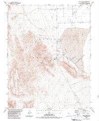
1986 Map of Yucca Lake
USGS Topo · Published 1987About this map
Nevada Test Site infrastructure dominates this mid-1980s topographical study of the high desert, centered on the restricted basin of Yucca Flat. The map details the technical and logistical landscape of the nuclear testing grounds, showing an extensive network of Drill Holes alongside industrial markers like Substations, Tanks, and specialized Radio Facilities. The dry bed of Yucca Lake sits adjacent to the Landing Strip, while the Mercury Highway serves as the primary artery through the valley. This survey provides a precise look at the transition from the flat lakebed to the elevation of the CP Hills and the prominent Hogback ridge. Strategic points such as News Nob, the Heliport, and Yucca Pass are clearly identified, illustrating the operational footprint of the Department of Energy during this era of Cold War history.
Find a feature on this map
28 named features on this map. Tap any name to fly to it.
Don’t see what you’re looking for? This feature index may not catch every label — zoom into the map to look around manually.
Map Details
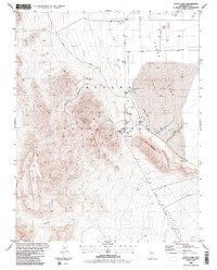
Editions of this 1986 Yucca Lake Map
2 editions found
Other maps of this area

1907 · Las Vegas
USGS Topo · 1:250,000

1908 · Kawich
USGS Topo · 1:250,000

1908 · Furnace Creek
USGS Topo · 1:250,000

1908 · Las Vegas
USGS Topo · 1:250,000

1910 · Furnace Creek
USGS Topo · 1:250,000

1942 · Emigrant Valley
USGS Topo · 1:125,000

1942 · Indian Spring
USGS Topo · 1:125,000

1942 · Wheelbarrow Peak
USGS Topo · 1:125,000

1942 · Skull Mountain
USGS Topo · 1:125,000

1948 · Death Valley
USGS Topo · 1:250,000