
1974 Map of Zachow
USGS Topo · Published 1977About this map
The Chicago and North Western railway cuts diagonally across this 1974 landscape, connecting the village of Zachow with neighboring Krakow and Pulaski. This region of eastern Wisconsin is characterized by a dense network of dairy-land townships including Hartland, Angelica, and Maple Grove, where small crossroads communities serve as local anchors. Local history is deeply embedded in the rural infrastructure, evidenced by landmarks like the Zion Ch and St Pauls Ch, alongside community-focused sites such as Hofa Park. The hydrology of the area is defined by the winding Pensaukee River and the East Branch Shioc River, which drain the varied terrain. Smaller settlements like Frazer Corners and Laney highlight the persistent settlement pattern of the mid-20th century, where rural Townhall buildings and family-centered cemeteries like Hillside Cem and Elm Grove Cem remain vital points of reference for genealogists and local historians.
Find a feature on this map
29 named features on this map. Tap any name to fly to it.
Don’t see what you’re looking for? This feature index may not catch every label — zoom into the map to look around manually.
Map Details
Editions of this 1974 Zachow Map
This is the sole edition of this map. No revisions or reprints were ever made.
Other maps of this area

1954 · Green Bay
USGS Topo · 1:62,500

1955 · Seymour
USGS Topo · 1:62,500

1955 · Green Bay
USGS Topo · 1:250,000

1956 · Gillett
USGS Topo · 1:62,500

1956 · Oconto Falls
USGS Topo · 1:62,500

1974 · Seymour
USGS Topo · 1:24,000

1974 · Cecil
USGS Topo · 1:24,000
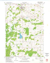
1974 · Bonduel
USGS Topo · 1:24,000
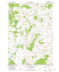
1974 · Nichols
USGS Topo · 1:24,000
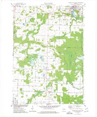
1974 · Oconto Falls South
USGS Topo · 1:24,000