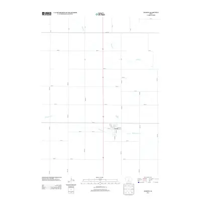
2013 Map of Zearing
USGS Topo · Published 2013About this map
The town of Zearing serves as the central hub of this Story County landscape, situated amidst a grid of agricultural section lines and drainage systems. This 2013 survey illustrates a classic Iowa prairie town layout, defined by its core street grid including W Main St, E Main St, and E Garfield St. The surrounding countryside is drained by the winding paths of Minerva Cr and Middle Minerva Cr, which meander through the farmland toward the northeast. Just north of the main settlement lies Dakins Lake, a prominent water feature that provides a contrast to the geometric precision of the surrounding road network. The map detail highlights the integration of local connectivity, showing how rural routes like Co Hwy-D65 and various numbered avenues link the community to the broader county infrastructure.
Find a feature on this map
38 named features on this map. Tap any name to fly to it.
Don’t see what you’re looking for? This feature index may not catch every label — zoom into the map to look around manually.
Map Details
Editions of this 2013 Zearing Map
This is the sole edition of this map. No revisions or reprints were ever made.
Other maps of this area

1954 · Waterloo
USGS Topo · 1:250,000

1955 · Waterloo
USGS Topo · 1:250,000

1975 · Nevada
USGS Topo · 1:24,000

1975 · State Center NW
USGS Topo · 1:24,000

1975 · State Center
USGS Topo · 1:24,000

1975 · Zearing
USGS Topo · 1:24,000

1975 · Mc Callsburg
USGS Topo · 1:24,000
1975 · Colo
USGS Topo · 1:24,000

1979 · New Providence
USGS Topo · 1:24,000

1979 · Hubbard
USGS Topo · 1:24,000