2022 Map of Zearing
USGS Topo · Published 2022About this map
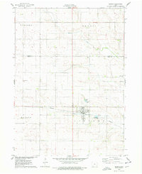
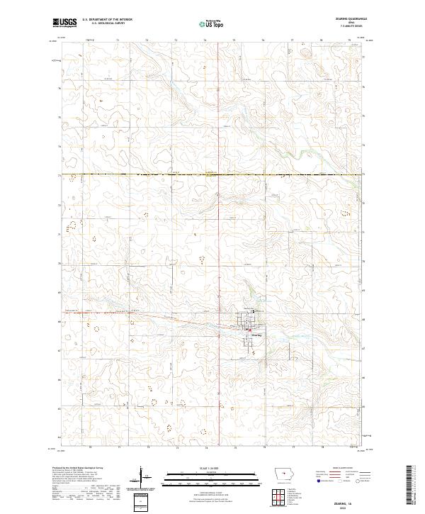
Zearing serves as the central hub of this agricultural landscape in northern Story County, situated just south of the Hardin Co Story Co line. The town's grid is centered near the intersection of W Main St and E Main St, with the Zearing Cem positioned on the northern outskirts. A significant modern transformation of the historical landscape is visible in the Prairie Rail Trl, which follows the former rail corridor westward out of town across the Middle Minerva Cr. This recreational path preserves the path of the grain-hauling routes that once defined the region's economy.
Find a feature on this map
28 named features on this map. Tap any name to fly to it.
Don’t see what you’re looking for? This feature index may not catch every label — zoom into the map to look around manually.
Map Details
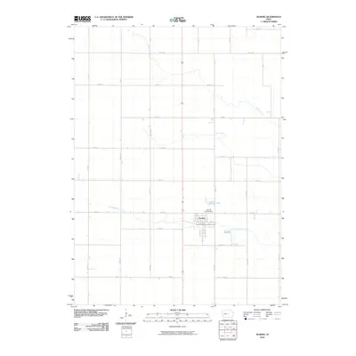
Editions of this 2022 Zearing Map
This is the sole edition of this map. No revisions or reprints were ever made.
Historical Maps of Zearing Through Time
6 maps found