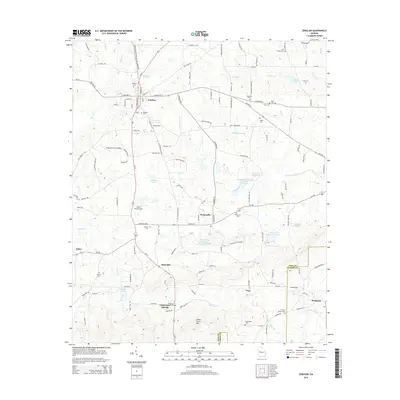
2014 Map of Zebulon
USGS Topo · Published 2014About this map
Zebulon serves as the central hub of this Georgia landscape, situated at the junction of Us-19 and Highway 18. The town's grid, including W Concord St and Bank St, anchors a region defined by a high density of family cemeteries and small rural settlements. To the south, Meansville and Rose Hill sit along the primary transport corridor, while the western edge is marked by the community of Lifsey.
Find a feature on this map
144 named features on this map. Tap any name to fly to it.
Don’t see what you’re looking for? This feature index may not catch every label — zoom into the map to look around manually.
Map Details
Editions of this 2014 Zebulon Map
This is the sole edition of this map. No revisions or reprints were ever made.
Other maps of this area

1935 · Thomaston
USGS Topo · 1:48,000

1939 · Thomaston
USGS Topo · 1:62,500

1951 · Yatesville
USGS Topo · 1:62,500

1951 · Barnesville
USGS Topo · 1:62,500

1953 · Atlanta
USGS Topo · 1:250,000

1955 · Phenix City
USGS Topo · 1:250,000

1957 · Phenix City
USGS Topo · 1:250,000

1957 · Atlanta
USGS Topo · 1:250,000

1958 · Phenix City
USGS Topo · 1:250,000

1958 · Atlanta
USGS Topo · 1:250,000