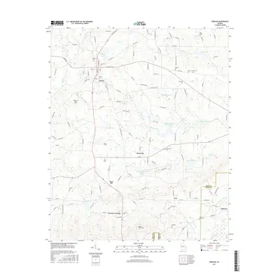
2017 Map of Zebulon
USGS Topo · Published 2017About this map
The Pike County seat of Zebulon sits at the intersection of Griffin St and Barnesville St, serving as a central hub for the surrounding agricultural and rural landscape. This modern survey illustrates a network of small settlements like Meansville, Rose Hill, and Vega, connected by traditional farm roads and newer thoroughfares. The terrain is defined by its water management, featuring several engineered reservoirs such as Potato Creek Structure Number 66 Lake and Potato Creek Structure Number 33 Lake, alongside natural features like Hardin Creek and the prominent Indian Grave Mountain. Genealogists will find a high density of rural cemeteries including Nazareth Cemetery, Bush Cemetery, and Liberty Cemetery, many situated near long-standing family landholdings. Local aviation is represented by Ridgeview Farm Airport and Brown Field, highlighting the mix of traditional land use and private infrastructure in this Georgia Piedmont region.
Find a feature on this map
127 named features on this map. Tap any name to fly to it.
Don’t see what you’re looking for? This feature index may not catch every label — zoom into the map to look around manually.
Map Details
Editions of this 2017 Zebulon Map
This is the sole edition of this map. No revisions or reprints were ever made.
Other maps of this area

1935 · Thomaston
USGS Topo · 1:48,000

1939 · Thomaston
USGS Topo · 1:62,500

1951 · Yatesville
USGS Topo · 1:62,500

1951 · Barnesville
USGS Topo · 1:62,500

1953 · Atlanta
USGS Topo · 1:250,000

1955 · Phenix City
USGS Topo · 1:250,000

1957 · Phenix City
USGS Topo · 1:250,000

1957 · Atlanta
USGS Topo · 1:250,000

1958 · Phenix City
USGS Topo · 1:250,000

1958 · Atlanta
USGS Topo · 1:250,000