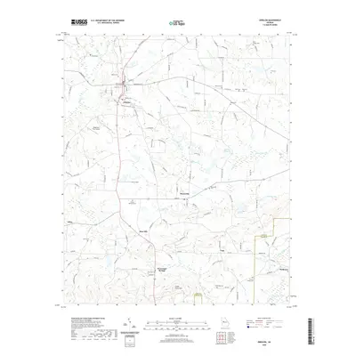
2020 Map of Zebulon
USGS Topo · Published 2020About this map
The Pike County Courthouse stands as the central landmark of Zebulon, the seat of Pike County, in a landscape defined by rolling agricultural tracts and a dense network of country roads. This 2020 survey illustrates the corridor between Zebulon and Meansville, connected by several historic thoroughfares such as Barnesville St and Griffin St. The geography is deeply personal for genealogists, featuring over a dozen burial grounds including Pine Chapel Cem, Cook Cem, and Nazareth Cem.
Find a feature on this map
126 named features on this map. Tap any name to fly to it.
Don’t see what you’re looking for? This feature index may not catch every label — zoom into the map to look around manually.
Map Details
Editions of this 2020 Zebulon Map
This is the sole edition of this map. No revisions or reprints were ever made.
Other maps of this area

1935 · Thomaston
USGS Topo · 1:48,000

1939 · Thomaston
USGS Topo · 1:62,500

1951 · Yatesville
USGS Topo · 1:62,500

1951 · Barnesville
USGS Topo · 1:62,500

1953 · Atlanta
USGS Topo · 1:250,000

1955 · Phenix City
USGS Topo · 1:250,000

1957 · Phenix City
USGS Topo · 1:250,000

1957 · Atlanta
USGS Topo · 1:250,000

1958 · Phenix City
USGS Topo · 1:250,000

1958 · Atlanta
USGS Topo · 1:250,000