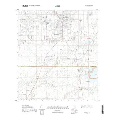
2018 Map of Zephyrhills
USGS Topo · Published 2018About this map
Zephyrhills serves as the central hub of this eastern Pasco County landscape, showing a detailed street grid that transitions into the newer developments of Zephyrhills West and Zephyrhills South. The town is anchored by the Zephyrhills Municipal Airport and the historic Oakside Cem, while to the southeast, the unincorporated community of Crystal Springs sits near the namesake Crystal Springs Cem.
Find a feature on this map
40 named features on this map. Tap any name to fly to it.
Don’t see what you’re looking for? This feature index may not catch every label — zoom into the map to look around manually.
Map Details
Editions of this 2018 Zephyrhills Map
This is the sole edition of this map. No revisions or reprints were ever made.
Other maps of this area

1943 · Thonotosassa
USGS Topo · 1:24,000

1944 · Plant City
USGS Topo · 1:31,680

1944 · Wesley Chapel
USGS Topo · 1:31,680

1944 · Thonotosassa
USGS Topo · 1:31,680

1944 · Antioch
USGS Topo · 1:31,680

1944 · Socrum
USGS Topo · 1:31,680

1947 · Zephyrhills
USGS Topo · 1:24,000

1954 · San Antonio
USGS Topo · 1:24,000

1955 · Plant City
USGS Topo · 1:250,000

1958 · Plant City
USGS Topo · 1:250,000
Featured Places
- Zephyrhills, FL
- Crystal Springs Colony Farms, FL
- Crystal Springs, FL
- Hillsborough County, FL
- Pasco County, FL