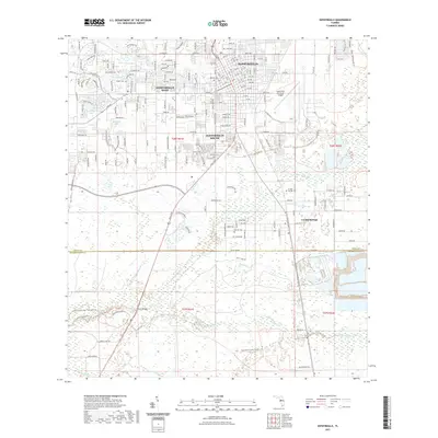
2021 Map of Zephyrhills
USGS Topo · Published 2021About this map
Zephyrhills serves as the central hub of this East Pasco County landscape, showing the city's modern extent alongside its suburban satellites of Zephyrhills West and Zephyrhills South. The terrain is defined by the winding course of the Hillsborough River, which flows southwest toward the Hillsborough River State Park. This waterway, along with tributaries like Blackwater Creek and Two Hole Br, creates a complex hydrological network of wetlands and ponds, including Lake Bernadette and Lake Zephyr.
Find a feature on this map
61 named features on this map. Tap any name to fly to it.
Don’t see what you’re looking for? This feature index may not catch every label — zoom into the map to look around manually.
Map Details
Editions of this 2021 Zephyrhills Map
This is the sole edition of this map. No revisions or reprints were ever made.
Other maps of this area

1943 · Thonotosassa
USGS Topo · 1:24,000

1944 · Plant City
USGS Topo · 1:31,680

1944 · Wesley Chapel
USGS Topo · 1:31,680

1944 · Thonotosassa
USGS Topo · 1:31,680

1944 · Antioch
USGS Topo · 1:31,680

1944 · Socrum
USGS Topo · 1:31,680

1947 · Zephyrhills
USGS Topo · 1:24,000

1954 · San Antonio
USGS Topo · 1:24,000

1955 · Plant City
USGS Topo · 1:250,000

1958 · Plant City
USGS Topo · 1:250,000
Featured Places
- Zephyrhills, FL
- Crystal Springs Colony Farms, FL
- Crystal Springs, FL
- Hillsborough County, FL
- Pasco County, FL