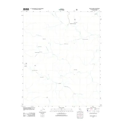
2012 Map of Zigzag Creek
USGS Topo · Published 2012About this map
Tassajara Hot Springs serves as a remote focal point for this 2012 survey of the Ventana wilderness area in Monterey County. The landscape is defined by a dense network of watercourses, including the N Fork Big Sur River, Arroyo Seco, and the namesake Zigzag Cr, which carve through the steep terrain surrounding landmarks like Black Cone. Access to these interior canyons is facilitated by Tassajara Rd, leading travelers to a string of backcountry camps.
Find a feature on this map
34 named features on this map. Tap any name to fly to it.
Don’t see what you’re looking for? This feature index may not catch every label — zoom into the map to look around manually.
Map Details
Editions of this 2012 Zigzag Creek Map
This is the sole edition of this map. No revisions or reprints were ever made.
Other maps of this area

1915 · Soledad
USGS Topo · 1:62,500

1919 · Junipero Serra
USGS Topo · 1:62,500

1920 · Jamesburg
USGS Topo · 1:48,000

1921 · Jamesburg
USGS Topo · 1:62,500

1921 · Lucia
USGS Topo · 1:62,500

1939 · Jamesburg
USGS Topo · 1:62,500

1940 · Jamesburg
USGS Topo · 1:62,500

1940 · Soledad
USGS Topo · 1:62,500

1941 · Lucia
USGS Topo · 1:62,500

1941 · Junipero Serra
USGS Topo · 1:62,500