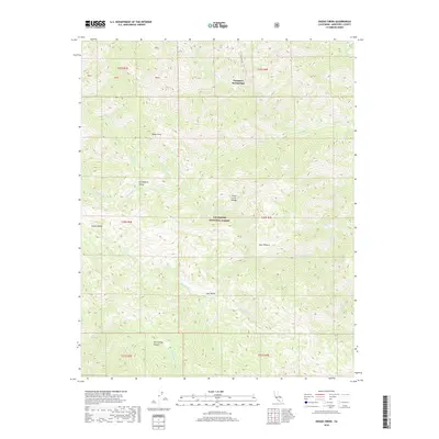
2018 Map of Zigzag Creek
USGS Topo · Published 2018About this map
Tassajara Hot Springs serves as a focal point within the high elevations of the Santa Lucia Range, marking a remote destination reached by the winding Tassajara Rd. This portion of the Los Padres National Forest is defined by a complex drainage network where the N Fork Big Sur River and S Fork Big Sur River begin their descent toward the coast. The terrain is punctuated by isolated flats and valleys, such as Strawberry Valley and Indian Valley, which offer rare level ground amidst steep peaks like Black Cone. To the southeast, the headwaters of the Arroyo Seco and Zigzag Cr carve deep through the wilderness, while named basins like Lost Valley and Deer Pasture suggest a history of seasonal use and grazing in these protected interior highlands.
Find a feature on this map
34 named features on this map. Tap any name to fly to it.
Don’t see what you’re looking for? This feature index may not catch every label — zoom into the map to look around manually.
Map Details
Editions of this 2018 Zigzag Creek Map
This is the sole edition of this map. No revisions or reprints were ever made.
Other maps of this area

1915 · Soledad
USGS Topo · 1:62,500

1919 · Junipero Serra
USGS Topo · 1:62,500

1920 · Jamesburg
USGS Topo · 1:48,000

1921 · Jamesburg
USGS Topo · 1:62,500

1921 · Lucia
USGS Topo · 1:62,500

1939 · Jamesburg
USGS Topo · 1:62,500

1940 · Jamesburg
USGS Topo · 1:62,500

1940 · Soledad
USGS Topo · 1:62,500

1941 · Lucia
USGS Topo · 1:62,500

1941 · Junipero Serra
USGS Topo · 1:62,500