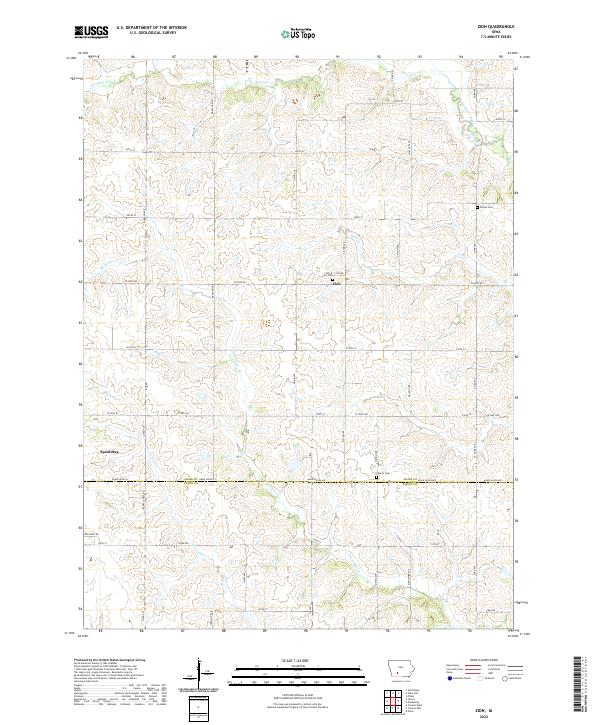
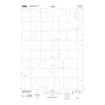
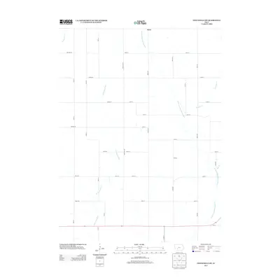
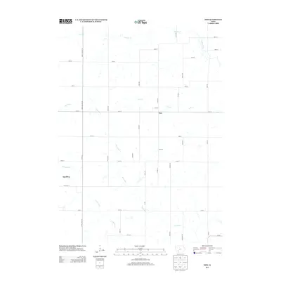
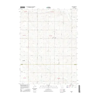
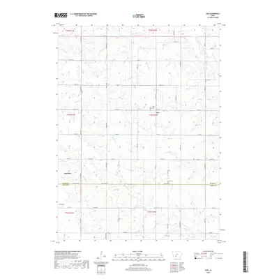
2022 Map of Zion
USGS Topo · Published 2022About this map
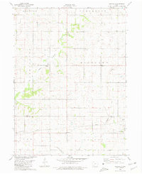
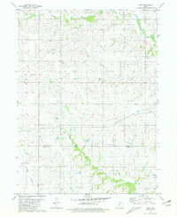
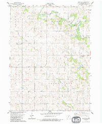
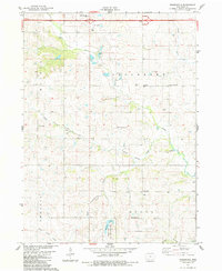
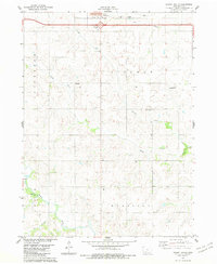
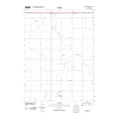
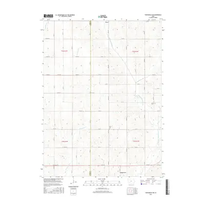
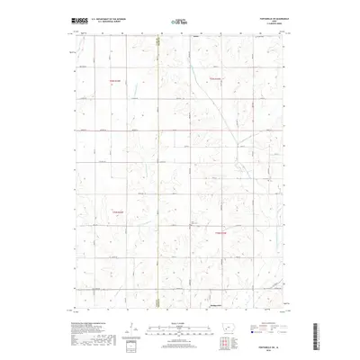
Zion and Spaulding anchor this rural landscape along the boundary of Adair and Union Counties. The area is defined by a dendritic network of waterways, including the Thompson River and several namesake creeks like Threemile Cr, Twelvemile Cr, and Ninemile Cr. These streams carve through the terrain, dictating the placement of early cemeteries such as Hill of Zion Cem and Liberty Cem.
Find a feature on this map
33 named features on this map. Tap any name to fly to it.
Don’t see what you’re looking for? This feature index may not catch every label — zoom into the map to look around manually.
Map Details
Editions of this 2022 Zion Map
This is the sole edition of this map. No revisions or reprints were ever made.
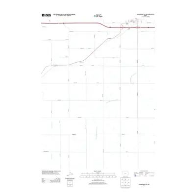
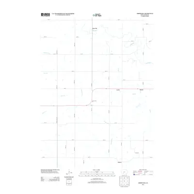
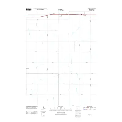
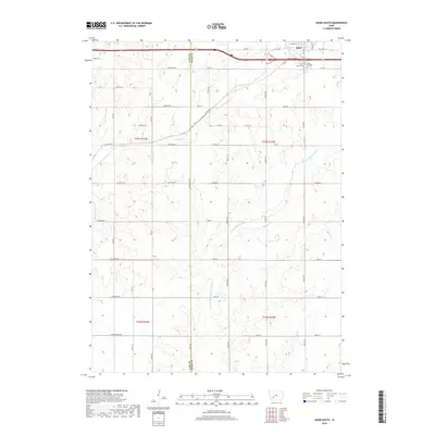
Historical Maps of Zion Through Time
48 maps found
1971 Adair South
Adair County, IA
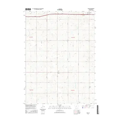
1971 Canby
Adair County, IA
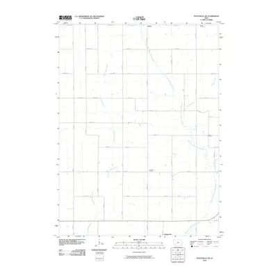
1971 Fontanelle SW
Adair County, IA
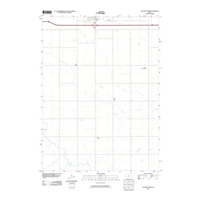
1980 Nevinville
Adair County, IA
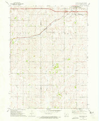
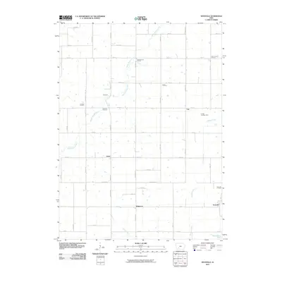
1981 Zion
Adair County, IA
1983 Arbor Hill
Adair County, IA
1983 Rosserdale
Adair County, IA
1983 Stuart South
Adair County, IA
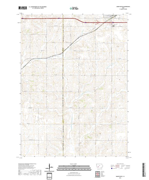
2010 Adair South
Adair County, IA
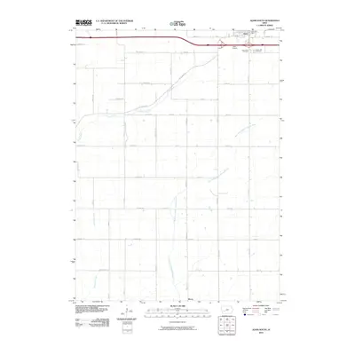
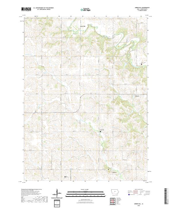
2010 Arbor Hill
Adair County, IA
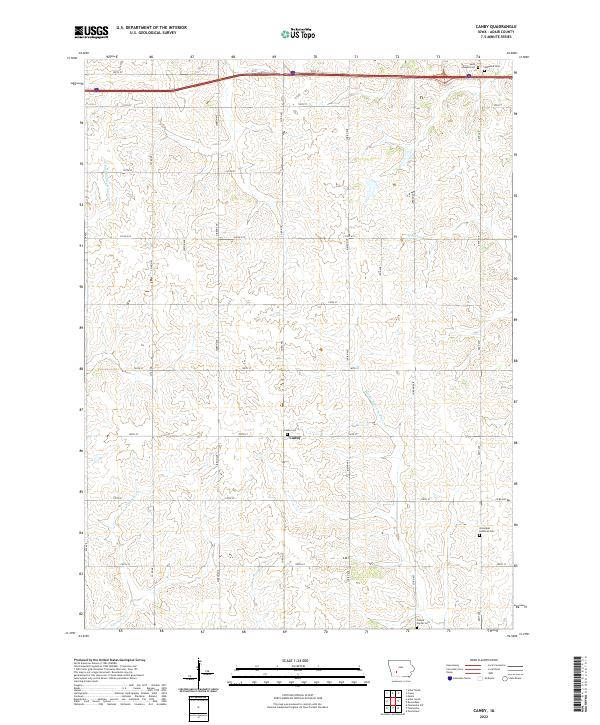
2010 Canby
Adair County, IA
2010 Fontanelle SW
Adair County, IA
2010 Nevinville
Adair County, IA
2010 Rosserdale
Adair County, IA
2010 Stuart South
Adair County, IA
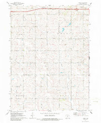
2010 Zion
Adair County, IA
2013 Adair South
Adair County, IA
2013 Arbor Hill
Adair County, IA
2013 Canby
Adair County, IA
2013 Fontanelle SW
Adair County, IA
2013 Nevinville
Adair County, IA
2013 Rosserdale
Adair County, IA
2013 Stuart South
Adair County, IA
2013 Zion
Adair County, IA
2015 Adair South
Adair County, IA
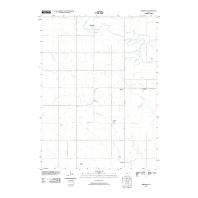
2015 Arbor Hill
Adair County, IA
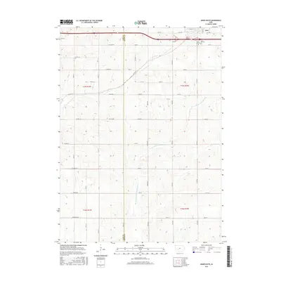
2015 Canby
Adair County, IA
2015 Fontanelle SW
Adair County, IA
2015 Nevinville
Adair County, IA
2015 Rosserdale
Adair County, IA
2015 Stuart South
Adair County, IA
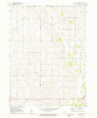
2015 Zion
Adair County, IA
2018 Adair South
Adair County, IA
2018 Arbor Hill
Adair County, IA
2018 Canby
Adair County, IA
2018 Fontanelle SW
Adair County, IA
2018 Nevinville
Adair County, IA
2018 Rosserdale
Adair County, IA
2018 Stuart South
Adair County, IA
2018 Zion
Adair County, IA
2022 Adair South
Adair County, IA
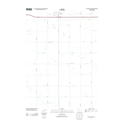
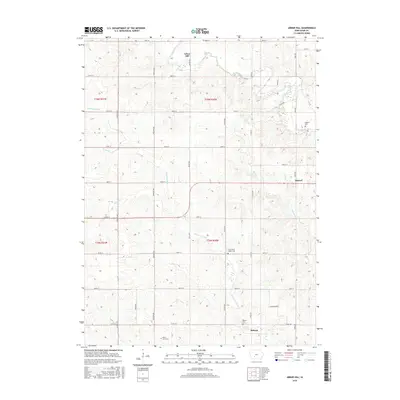
2022 Arbor Hill
Adair County, IA
2022 Canby
Adair County, IA
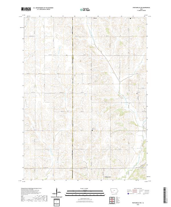
2022 Fontanelle SW
Adair County, IA
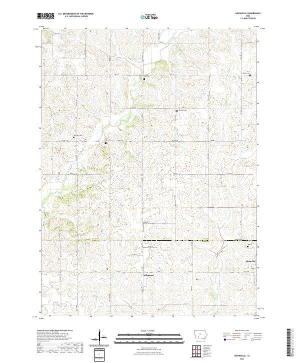
2022 Nevinville
Adair County, IA
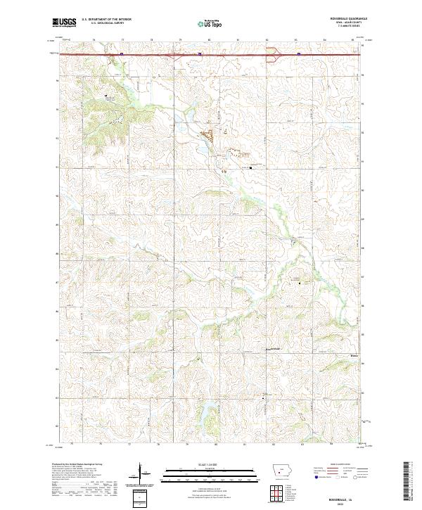
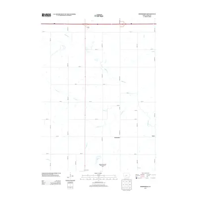
2022 Rosserdale
Adair County, IA
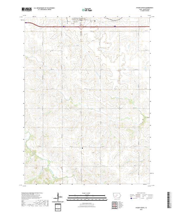
2022 Stuart South
Adair County, IA
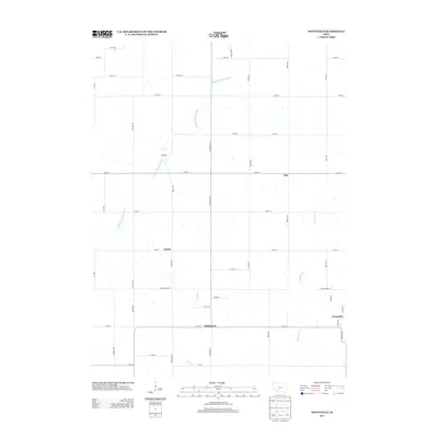
2022 Zion
Adair County, IA