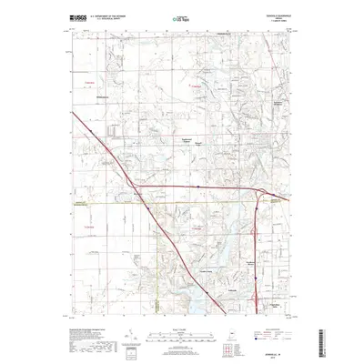
2019 Map of Zionsville
USGS Topo · Published 2019About this map
Zionsville and the surrounding suburban expansion north of Indianapolis are documented in this contemporary topographic record. The landscape is defined by the significant hydrological footprint of the Eagle Creek Reservoir and Traders Point Lake in the south, while the northern reaches maintain a mix of established residential areas like Northern Meadows and Eaglewood Estates. Longstanding family and community landmarks remain visible throughout the area, including several burial grounds such as Pitzer Cem, Marvel Cem, and the Macedonia Baptist Church Cem.
Find a feature on this map
259 named features on this map. Tap any name to fly to it.
Don’t see what you’re looking for? This feature index may not catch every label — zoom into the map to look around manually.
Map Details
Editions of this 2019 Zionsville Map
This is the sole edition of this map. No revisions or reprints were ever made.
Other maps of this area

1948 · Indianapolis West
USGS Topo · 1:24,000

1952 · Carmel
USGS Topo · 1:24,000

1953 · Westfield
USGS Topo · 1:24,000

1953 · Fayette
USGS Topo · 1:24,000

1953 · Rosston
USGS Topo · 1:24,000

1953 · Brownsburg
USGS Topo · 1:24,000

1953 · Zionsville
USGS Topo · 1:24,000

1953 · Lebanon
USGS Topo · 1:24,000

1953 · Clermont
USGS Topo · 1:24,000

1953 · Danville
USGS Topo · 1:250,000
Featured Places
- Indianapolis, IN
- Zionsville, IN
- Whitestown, IN
- Legendary Hills, Indianapolis
- Traders Point, Indianapolis