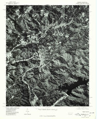
1977 Map of Zirconia
USGS Topo · Published 1979About this map
The Southern Blue Ridge landscape south of Henderson is defined by the significant impoundments of Lake Summit and Poinsett Reservoir. This 1977 orthophotoquad, produced from aerial imagery rectified by the Geological Survey and the Soil Conservation Service, reveals the intricate relationship between the region's steep topography and its water management systems. The imagery highlights the winding shoreline of Lake Summit in the north and the larger expanse of the Poinsett Reservoir to the south, separated by heavily wooded ridgelines. Clearings and road networks following the contours of the land indicate rural development and agricultural patterns typical of the late 1970s. This aerial perspective provides a literal look at the forest cover and land use across the North Carolina and South Carolina border before later decades of expansion.
Find a feature on this map
2 named features on this map. Tap any name to fly to it.
Don’t see what you’re looking for? This feature index may not catch every label — zoom into the map to look around manually.
Map Details
Editions of this 1977 Zirconia Map
This is the sole edition of this map. No revisions or reprints were ever made.
Other maps of this area

1905 · Pisgah
USGS Topo · 1:125,000

1906 · Pisgah
USGS Topo · 1:125,000

1907 · Saluda
USGS Topo · 1:125,000

1935 · Standingstone Mtn.
USGS Topo · 1:24,000

1935 · Horse Shoe
USGS Topo · 1:24,000

1935 · Hendersonville
USGS Topo · 1:24,000

1935 · Fishtop
USGS Topo · 1:24,000

1935 · Zirconia
USGS Topo · 1:24,000
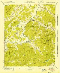
1942 · Horse Shoe
USGS Topo · 1:24,000
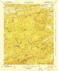
1946 · Standingstone Mtn.
USGS Topo · 1:24,000