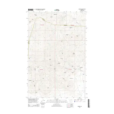
2014 Map of Zortman
USGS Topo · Published 2014About this map
Zortman and Landusky anchor this portrait of the Little Rocky Mountains in north-central Montana, where the terrain is defined by a dense network of gulches and isolated peaks. The map details the transition between Blaine Co and Phillips Co, revealing a landscape shaped by historical mining interest and high-altitude topography. Landmarks such as Gold Bug Butte, Mission Peak, and Antoine Butte rise above the drainage systems of Ruby Cr and Rock Cr.
Find a feature on this map
49 named features on this map. Tap any name to fly to it.
Don’t see what you’re looking for? This feature index may not catch every label — zoom into the map to look around manually.
Map Details
Editions of this 2014 Zortman Map
This is the sole edition of this map. No revisions or reprints were ever made.
Other maps of this area

1943 · Landusky
USGS Topo · 1:125,000

1953 · Havre
USGS Topo · 1:250,000

1954 · Lewistown
USGS Topo · 1:250,000

1957 · Havre
USGS Topo · 1:250,000

1958 · Havre
USGS Topo · 1:250,000

1959 · Lewistown
USGS Topo · 1:250,000

1971 · Bear Mountain
USGS Topo · 1:24,000

1971 · Hays
USGS Topo · 1:24,000

1971 · Robinson School
USGS Topo · 1:24,000

1971 · Hays SE
USGS Topo · 1:24,000