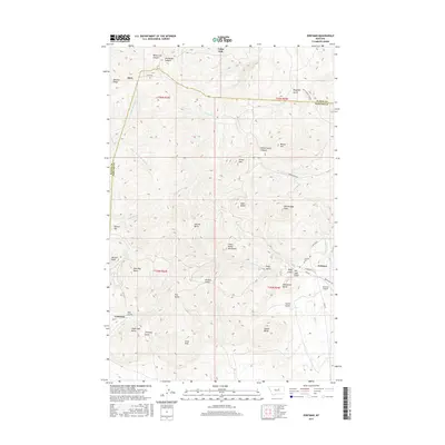
2017 Map of Zortman
USGS Topo · Published 2017About this map
The Little Rocky Mountains rise sharply in this 2017 survey of the border between Blaine and Phillips counties. This island range is defined by complex topography, with prominent summits like Old Scraggy Peak, Silver Peak, and Beaver Mtn towering over a network of canyons and gulches. The historic mining legacy of the area is evident in the proximity of Zortman and Landusky, settlements that flourished during the regional gold rush. Numerous drainages such as Ruby Gulch, Alder Gulch, and Mill Gulch radiate from the central peaks, illustrating the erosional patterns that exposed the area's mineral wealth. To the north, the terrain transitions toward the plains near Hays and Lodge Pole, while the Zortman Airport and Zortman Cemetery serve as modern landmarks for the local community.
Find a feature on this map
57 named features on this map. Tap any name to fly to it.
Don’t see what you’re looking for? This feature index may not catch every label — zoom into the map to look around manually.
Map Details
Editions of this 2017 Zortman Map
This is the sole edition of this map. No revisions or reprints were ever made.
Other maps of this area

1943 · Landusky
USGS Topo · 1:125,000

1953 · Havre
USGS Topo · 1:250,000

1954 · Lewistown
USGS Topo · 1:250,000

1957 · Havre
USGS Topo · 1:250,000

1958 · Havre
USGS Topo · 1:250,000

1959 · Lewistown
USGS Topo · 1:250,000

1971 · Bear Mountain
USGS Topo · 1:24,000

1971 · Hays
USGS Topo · 1:24,000

1971 · Robinson School
USGS Topo · 1:24,000

1971 · Hays SE
USGS Topo · 1:24,000