2022 Map of Zumbro Falls
USGS Topo · Published 2022About this map
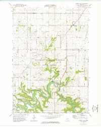
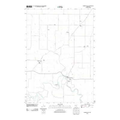
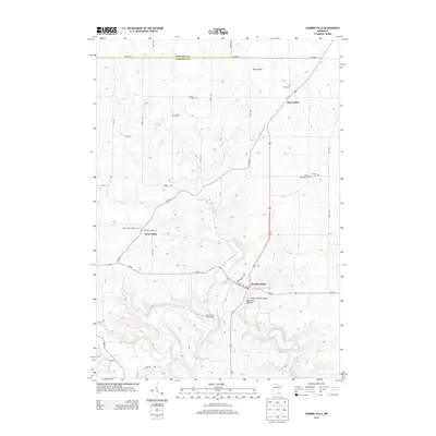
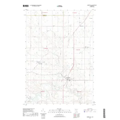
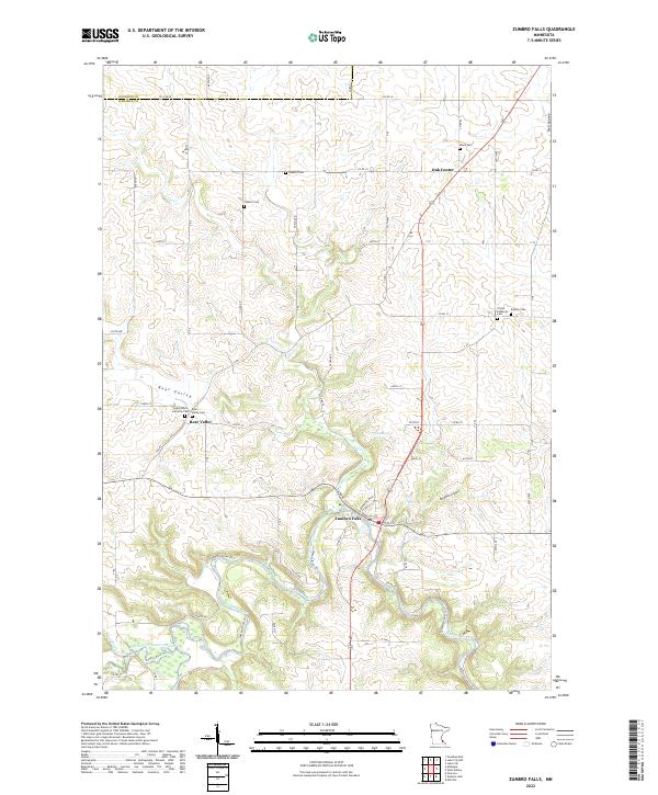
Zumbro Falls sits at a significant bend where the North Fork Zumbro River joins the main Zumbro River system, illustrating the enduring influence of topography on settlement. This modern 2022 survey records a landscape characterized by its deeply incised valleys and coulees, including the evocative Hell Coulee and the more pastoral Bear Valley. Genealogists will find a high concentration of burial sites marking the cultural history of the area, such as Saint John's Lutheran Cem and Trinity Lutheran Cem, reflecting the early Lutheran heritage of the region. Small communities like Oak Center remain connected by a network of county roads like Co RD 16 and Co RD 75 that trace the ridges above Cold Cr and the Buckman Coulee.
Find a feature on this map
56 named features on this map. Tap any name to fly to it.
Don’t see what you’re looking for? This feature index may not catch every label — zoom into the map to look around manually.
Map Details
Editions of this 2022 Zumbro Falls Map
This is the sole edition of this map. No revisions or reprints were ever made.
Historical Maps of Zumbro Falls Through Time
6 maps found