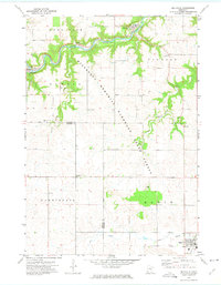
1972 Map of Millville
USGS Topo · Published 1975About this map
The Zumbro River carves a deep, winding path through the northern half of this landscape, anchoring the riverfront settlements of Millville, Jarrett, and Hammond. This 1972 survey captures the transition from the river valley to the elevated plateaus of Hyde Park and Oakwood. The geography is defined by the Minnesota Memorial Hardwood State Forest, where steep, wooded ravines contrast sharply with the expansive agricultural fields found further south in Elgin and Potsdam. Local history and genealogy are well-represented by rural landmarks such as Oakwood Ch, Bremen Ch, and the Pleasant Prairie Cem. The presence of several Gravel Pits along the river and various tributary creeks like Silver Spring Creek and Long Creek indicates the local industries and infrastructure needs of the early 1970s.
Find a feature on this map
24 named features on this map. Tap any name to fly to it.
Don’t see what you’re looking for? This feature index may not catch every label — zoom into the map to look around manually.
Map Details
Editions of this 1972 Millville Map
This is the sole edition of this map. No revisions or reprints were ever made.
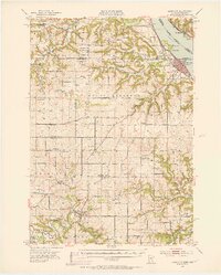
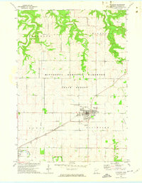
Other maps of this area

1932 · Wabasha
USGS Topo · 1:62,500

1934 · Plainview
USGS Topo · 1:62,500

1935 · Rochester
USGS Topo · 1:48,000

1938 · Plainview
USGS Topo · 1:62,500

1939 · Rochester
USGS Topo · 1:62,500

1951 · Wabasha
USGS Topo · 1:62,500
1951 · Lake City
USGS Topo · 1:62,500

1953 · Saint Paul
USGS Topo · 1:250,000

1959 · Saint Paul
USGS Topo · 1:250,000
1972 · Plainview
USGS Topo · 1:24,000