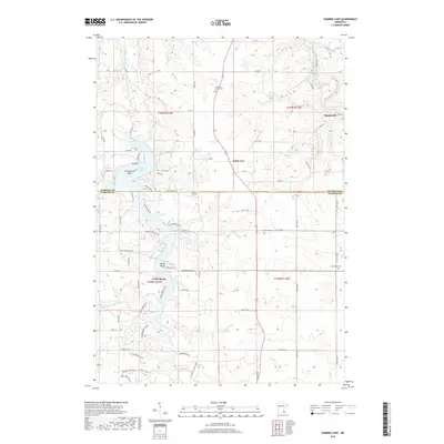
2019 Map of Zumbro Lake
USGS Topo · Published 2019About this map
The confluence of the Middle Fork Zumbro River and the S Fork Zumbro River anchors this landscape in the late 2010s, where they feed into the sprawling waters of Zumbro Lake. This region along the boundary of Wabasha and Olmsted counties shows a distinct contrast between the clustered shoreline communities of Cedar Beach and the agricultural plateaus to the east. Several historic burial grounds, including Pleasant Prairie Cem and Greenland Cem, are situated on the higher elevations above the river valley.
Find a feature on this map
88 named features on this map. Tap any name to fly to it.
Don’t see what you’re looking for? This feature index may not catch every label — zoom into the map to look around manually.
Map Details
Editions of this 2019 Zumbro Lake Map
This is the sole edition of this map. No revisions or reprints were ever made.
Other maps of this area

1935 · Rochester
USGS Topo · 1:48,000

1939 · Rochester
USGS Topo · 1:62,500

1951 · Lake City
USGS Topo · 1:62,500

1953 · Saint Paul
USGS Topo · 1:250,000

1959 · Saint Paul
USGS Topo · 1:250,000

1965 · Oronoco
USGS Topo · 1:24,000

1966 · Douglas
USGS Topo · 1:24,000

1968 · Mazeppa
USGS Topo · 1:24,000
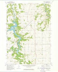
1972 · Zumbro Lake
USGS Topo · 1:24,000
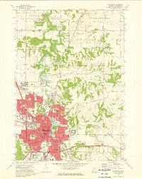
1972 · Rochester
USGS Topo · 1:24,000