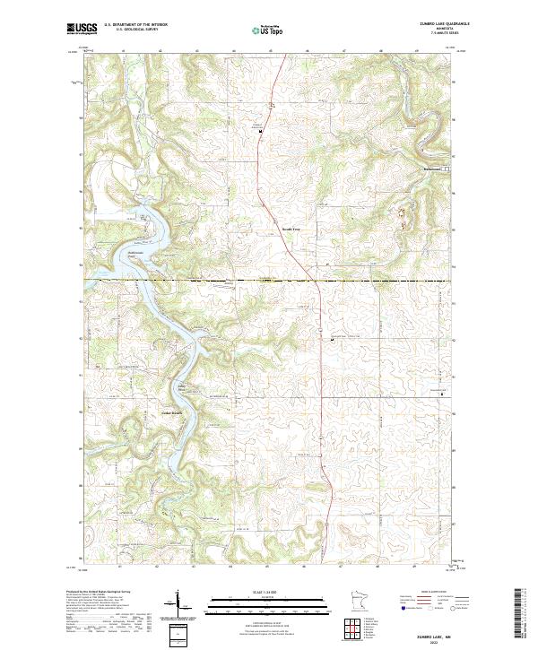
2022 Map of Zumbro Lake
USGS Topo · Published 2022About this map
Zumbro Lake dominates the western edge of this 2022 survey, where the Middle Fork Zumbro River joins the main branch amidst a landscape of sharp ridges and winding valley roads. The border between Wabasha and Olmsted counties cuts directly through the center of the map, separating the northern settlements like Hammond and South Troy from the southern reaches. This modern topographical study highlights the shift from the recreational waterfront at Cedar Beach and Ryans Bay to the upland agricultural plateaus. Rural life is anchored by established landmarks such as the Pleasant Prairie Cem and Farm Hill Cem, while the Nietz Airstrip indicates the contemporary use of the flatter terrain away from the river bluffs. Notable landmarks like Rattlesnake Point and Sandy Point provide clear orientation for researchers tracking the development of the river corridor.
Find a feature on this map
87 named features on this map. Tap any name to fly to it.
Don’t see what you’re looking for? This feature index may not catch every label — zoom into the map to look around manually.
Map Details
Editions of this 2022 Zumbro Lake Map
This is the sole edition of this map. No revisions or reprints were ever made.
Other maps of this area

1935 · Rochester
USGS Topo · 1:48,000

1939 · Rochester
USGS Topo · 1:62,500

1951 · Lake City
USGS Topo · 1:62,500

1953 · Saint Paul
USGS Topo · 1:250,000

1959 · Saint Paul
USGS Topo · 1:250,000

1965 · Oronoco
USGS Topo · 1:24,000

1966 · Douglas
USGS Topo · 1:24,000

1968 · Mazeppa
USGS Topo · 1:24,000
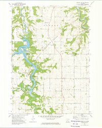
1972 · Zumbro Lake
USGS Topo · 1:24,000
1972 · Rochester
USGS Topo · 1:24,000