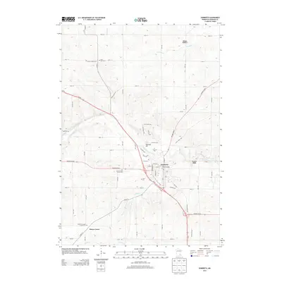
2013 Map of Zumbrota
USGS Topo · Published 2013About this map
Zumbrota serves as a significant regional hub along the North Fork Zumbro River in Goodhue County. The landscape is defined by the convergence of major travel corridors, including Us-52 and Highway 60 Blvd, which pass through a terrain marked by distinctive features like Sugarloaf Hill. For local historians, the area is notable for its high density of community landmarks, including the historic Covered Bridge and a large concentration of religious burial grounds such as Land Norwegian Lutheran Cem and Saint John's Cem.
Find a feature on this map
51 named features on this map. Tap any name to fly to it.
Don’t see what you’re looking for? This feature index may not catch every label — zoom into the map to look around manually.
Map Details
Editions of this 2013 Zumbrota Map
This is the sole edition of this map. No revisions or reprints were ever made.
Other maps of this area

1953 · Saint Paul
USGS Topo · 1:250,000

1959 · Saint Paul
USGS Topo · 1:250,000

1965 · Concord
USGS Topo · 1:24,000

1965 · Oronoco
USGS Topo · 1:24,000

1965 · Pine Island
USGS Topo · 1:24,000

1968 · Goodhue East
USGS Topo · 1:24,000

1968 · Zumbrota
USGS Topo · 1:24,000

1968 · Mazeppa
USGS Topo · 1:24,000

1968 · Wanamingo
USGS Topo · 1:24,000

1968 · White Rock
USGS Topo · 1:24,000